Crater Lake, Volcanic crater lake in Oregon, US
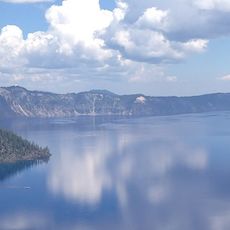
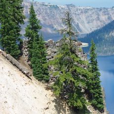
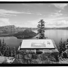
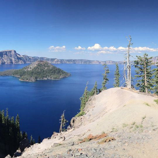
Crater Lake fills a caldera 2,148 feet (655 m) deep that formed when Mount Mazama collapsed about 7,700 years ago. The lake measures 5 by 6 miles (8.0 by 9.7 km) across, with a caldera rim standing 7,000 to 8,000 feet (2,100 to 2,400 m) above sea level. Wizard Island, a cinder cone of about 316 acres (128 hectares), lies near the western shore, while the rock pillar Phantom Ship stands near the southern shore.
Mount Mazama collapsed in a massive eruption about 7,700 years ago, leaving a caldera that took roughly 720 years to fill with rain and snowmelt. In June 1853, Isaac Skeeter, John Wesley Hillman and a third prospector reported the lake while on a mining trip; Skeeter named it Deep Blue Lake. It was renamed Blue Lake and Lake Majesty before becoming Crater Lake.
The Klamath tribes call the lake Giiwas and hold it as a sacred site tied to their spiritual practices and ancestral memory. Visitors can learn about its importance to indigenous communities through interpretive signs and stories shared throughout the park.
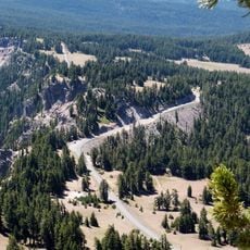
The lake receives water only through rain and snow, with its entire volume naturally replaced every 150 years through this process. The high elevation and climate mean snow often remains on roads around the caldera until early summer, limiting full access to the rim road during those months.
A hemlock log called the Old Man of the Lake has drifted upright in the lake since at least 1896, when geologist Joseph Diller first described it. Its bleached top stands about 4 feet above the surface, and wind and currents carry it around the lake without ever tipping it over.
The community of curious travelers
AroundUs brings together thousands of curated places, local tips, and hidden gems, enriched daily by 92,208 contributors worldwide.