Brownsville, city in Linn County, Oregon
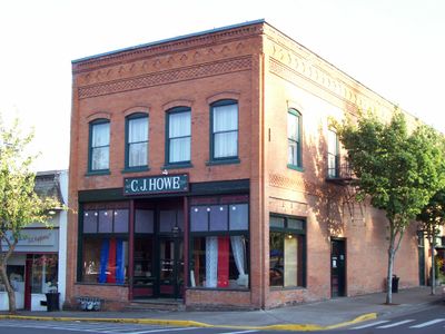
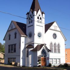
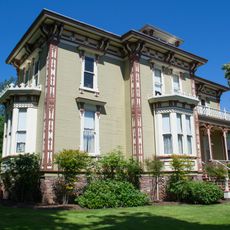
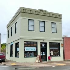
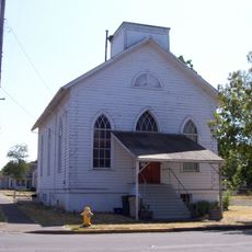
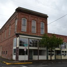
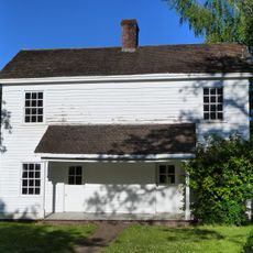
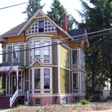
Brownsville is a small city in Linn County, Oregon, with streets lined by buildings from the late 1800s and early 1900s that remain in their original form. The town spreads around the Calapooia River and offers local shops, restaurants, and museums that reflect daily life and the area's past.
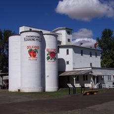
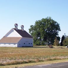
Brownsville was founded in 1846 when families like the Kirks, Browns, and Blakelys moved west and recognized the Calapooia valley as ideal for settlement. The arrival of the railroad in 1880 transformed the town into a busy hub with shops and mills, accelerating its growth and importance through the 1900s.
Brownsville takes its name from Hugh L. Brown, who built a mill there in the 1800s and shaped the settlement. The town is marked by a close community that holds regular events like the Antique Faire and the yearly Pioneer Picnic, where visitors can experience local traditions and the strong bonds between residents.
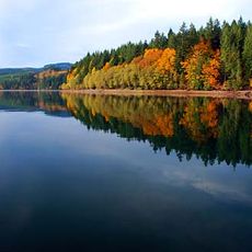
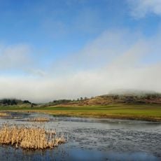
Brownsville sits near larger cities like Portland, Eugene, and Corvallis and is easy to reach by car. The town works well for walking through flat streets and exploring local shops, while the surrounding countryside allows for hiking, biking, and nature activities.
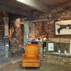
The Living Rock Studios is a hand-built stone castle that visitors can walk through, blending geology, art, and history together. This unusual building was created by a local artist and offers a surprising look at the town's creative side that many travelers miss.
The community of curious travelers
AroundUs brings together thousands of curated places, local tips, and hidden gems, enriched daily by 60,000 contributors worldwide.