Chest opened
+${chestReward.xp} XP
Explorer
NOUVEAU ×${chestReward.collectible.quantity}
tapez pour fermer

See the monuments around you in AR Open chests in the app

Around Us is built for your phone — point your camera at the streets and discover the monuments and places around you in augmented reality. Around Us is built for your phone — chests unlock when you walk, explore and capture nearby places.

Enable Location

We need your location to show you interesting places around you

Discover nearby places

Find interesting locations and hidden gems around you

Precise directions

Get accurate directions and distances to places

Your location is never shared with other users. It's only used when you tap the location button.

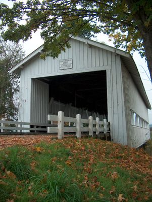
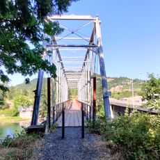
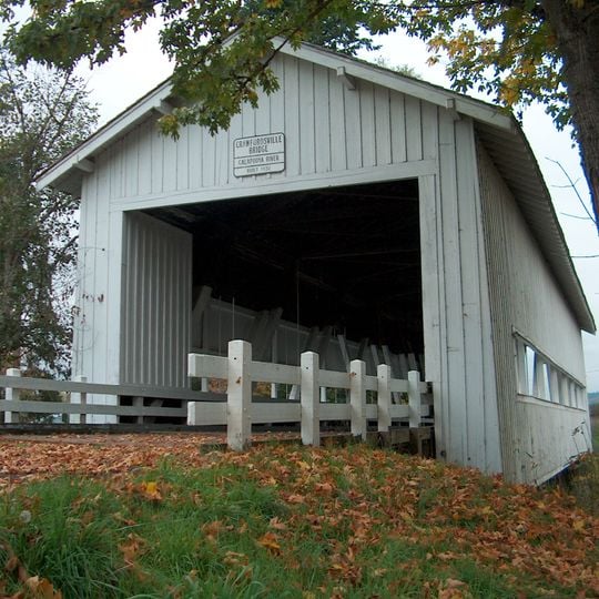
Crawfordsville Bridge

Log in to your account

Start exploring — it's free

Trusted by 85,654 travelers worldwide

Continue with Google
Continue with Apple
or

We will send you a code to connect

By continuing, you accept our Terms and Conditions and our Privacy Policy

Check your inbox

We've sent a pincode in your inbox. Please enter the code below.

Discussion Reviews 1 Photos
1.3k Popularity

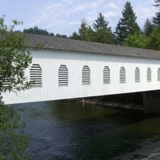
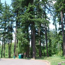
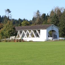
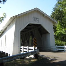
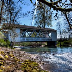
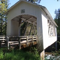
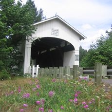
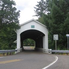
Crawfordsville Bridge, Covered bridge in Crawfordsville, Oregon.

Crawfordsville Bridge is a covered wooden bridge that crosses the Calapooia River and stands on the National Register of Historic Places. It features a traditional truss framework covered by a protective roof that shields the wooden structure from weather.

It was built in 1932 as part of Oregon's expansion of rural infrastructure during the early 20th century. The structure gained official recognition when it was added to the National Register of Historic Places nearly 50 years after its construction.

The bridge has become part of local identity, and people enjoy walking across it or stopping to take photographs from the viewpoints nearby. It serves as a focal point for community gatherings throughout the year.

You can walk across this structure and stop at the adjacent small park to picnic or rest along the riverbank. The site offers basic amenities and is easy to access for visitors looking for a brief outdoor stop.

This structure appeared in a 1976 television film and gained wider recognition through its connection to cinema history. That appearance in the movie raised its profile beyond what its architectural features alone might have achieved.

The community of curious travelers

AroundUs brings together thousands of curated places, local tips, and hidden gems, enriched daily by 60,000 contributors worldwide.
Start exploring
Location
GPS coordinates
44.35778,-122.85889
Latest update
August 30, 2026 18:39
Around this place
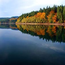
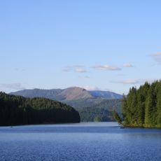
Foster Reservoir
United States of America

Foster Reservoir

10.3 mi
Green Peter Reservoir
United States of America

Green Peter Reservoir

16.7 mi
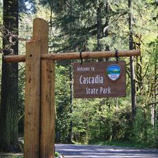
Cascadia State Park
United States of America

Cascadia State Park

19.3 mi
Hayden Bridge
United States of America

Hayden Bridge

20.5 mi
Goodpasture Bridge
United States of America

Goodpasture Bridge

19.8 mi
Green Peter Dam
United States of America

Green Peter Dam

16.6 mi
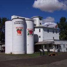
Thompson's Mills State Heritage Site
United States of America

Thompson's Mills State Heritage Site

13.1 mi
Washburne State Wayside
United States of America

Washburne State Wayside

19.8 mi
Weddle Bridge
United States of America

Weddle Bridge

6.9 mi
Hoffman Bridge
United States of America

Hoffman Bridge

20.5 mi
Larwood Bridge
United States of America

Larwood Bridge

19.7 mi
Oregon Railway and Navigation Company Bridge
United States of America

Oregon Railway and Navigation Company Bridge

19.4 mi
Short Bridge
United States of America

Short Bridge

17.4 mi
Boston Flour Mill
United States of America

Boston Flour Mill

13.1 mi
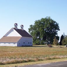
Henry and Mary Cyrus Barn
United States of America

Henry and Mary Cyrus Barn

18.5 mi
Coburg Historic District
United States of America

Coburg Historic District

18.3 mi
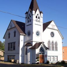
First Baptist Church
United States of America

First Baptist Church

6.7 mi
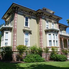
John M. Moyer House
United States of America

John M. Moyer House

6.7 mi
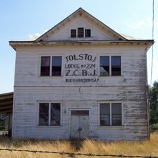
Z.C.B.J. Tolstoj Lodge No. 224
United States of America

Z.C.B.J. Tolstoj Lodge No. 224

21.1 mi
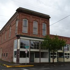
Harrisburg Odd Fellows Hall
United States of America

Harrisburg Odd Fellows Hall

16.5 mi
United Presbyterian Church of Shedd
United States of America

United Presbyterian Church of Shedd

14.3 mi
Wendling Bridge
United States of America

Wendling Bridge

11.9 mi
Earnest Bridge
United States of America

Earnest Bridge

10.9 mi
Louis A. Crandall House
United States of America

Louis A. Crandall House

12.6 mi
Lame-Smith House
United States of America

Lame-Smith House

13.2 mi
Angell–Brewster House
United States of America

Angell–Brewster House

15.3 mi
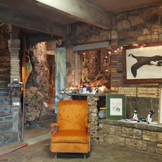
Living Rock Studios
United States of America

Living Rock Studios

7.1 mi
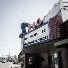
Rio Theatre
United States of America

Rio Theatre

7.1 mi
Show the full map
Reviews
Share your experience

No review yet

Discussions
Start a discussion...

No discussion yet

« Crawfordsville Bridge - Covered bridge in Crawfordsville, Oregon » is provided by Around Us (aroundus.com). Images and texts are derived from Wikimedia project under a Creative Commons license. You are allowed to copy, distribute, and modify copies of this page, under the conditions set by the license, as long as this note is clearly visible.

Discover hidden gems everywhere you go!

From secret cafés to breathtaking viewpoints, skip the crowded tourist spots and find places that match your style. Our app makes it easy with voice search, smart filtering, route optimization, and insider tips from travelers worldwide. Download now for the complete mobile experience.
Around Us App Screenshot

A unique approach to discovering new places

Le Figaro

All the places worth exploring

France Info

A tailor-made excursion in just a few clicks

20 Minutes

Around Us
Travel Guide & Maps
Download

Send to your phone

QR Code
1

Open the camera app on your mobile.

2

Point at the QR code with your camera. A notification will appear.

3

Tap the notification to open the link.