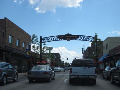
Redmond, High desert city in Central Oregon, US.
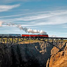
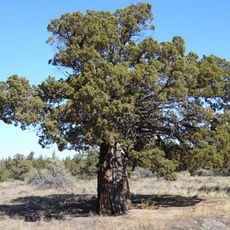
Redmond is a city in Oregon's high desert located at about 938 meters elevation on the eastern side of the Cascade Range in Deschutes County. The terrain is marked by volcanic rock formations and sagebrush landscape typical of the region.
The area changed from farmland to a town in 1905 and became an incorporated city in 1910. It later served as a strategic U.S. Army Air Base during the 1940s.
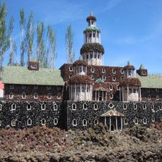
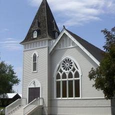
The Art in Public Places program fills streets and parks with permanent installations by local artists. These works give the city a creative character that visitors notice as they explore.
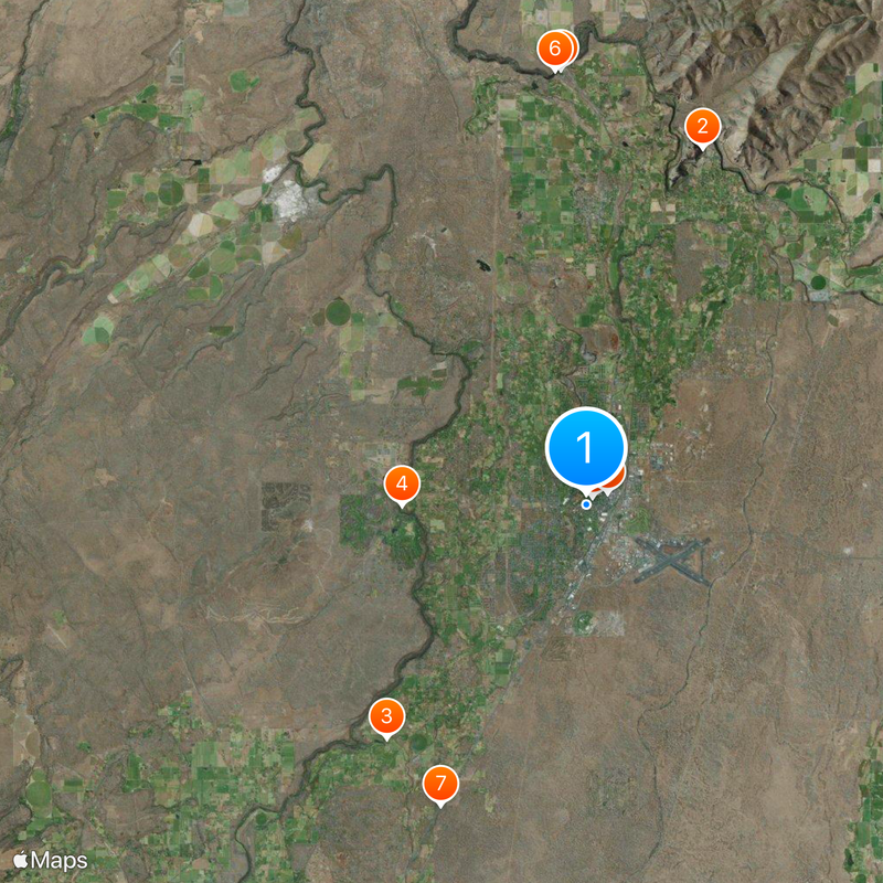
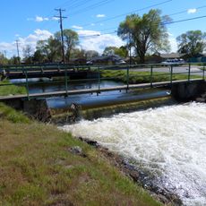
Roberts Field airport connects the city to larger western centers, while the intersection of Route 126 and US Route 97 offers road access. The terrain is relatively flat, making exploration on foot or by bicycle straightforward.
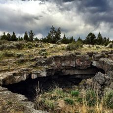
Beneath the city lies a network of five underground chambers known as the Redmond Caves, part of the Horse Lava Tube System. This hidden geological feature is something most travelers overlook when visiting.
Location: Deschutes County
Inception: 1910
Elevation above the sea: 938 m
Website: http://ci.redmond.or.us
GPS coordinates: 44.26889,-121.18361
Latest update: December 14, 2025 17:57
Smith Rock State Park
11.8 km
Petersen Rock Garden
9.6 km
Cline Falls State Scenic Viewpoint
5.8 km
Peter Skene Ogden State Scenic Viewpoint
13.7 km
Crooked River Railroad Bridge
13.6 km
Redmond–Bend Juniper State Scenic Corridor
10.5 km
Milton Odem House
322 m
New Redmond Hotel
784 m
First Presbyterian Church of Redmond
943 mAwbrey Falls
12.1 km
Redmond Caves Recreation Area
2.2 kmRedmond City Skate Park
836 m
Pilot Butte Canal Downtown Redmond Segment
2.5 kmNorman and Frances Swanson House
1.1 kmThe Greens at Redmond
3.3 kmThe Resort Course At Eagle Crest
5.8 kmJuniper Golf Course
4.5 kmHigh Desert Activity Center
3.8 kmThe Greens at Redmond
3.6 kmThe Art of Alfred A. Dolezal Gallery
6.3 kmScenic viewpoint
13.3 kmScenic viewpoint
12.3 kmScenic viewpoint
11.5 kmScenic viewpoint
12.4 kmScenic viewpoint
11.2 kmScenic viewpoint
10.3 kmCline Falls
5.8 kmAwbrey Falls
12.1 kmVisited this place? Tap the stars to rate it and share your experience / photos with the community! Try now! You can cancel it anytime.
Discover hidden gems everywhere you go!
From secret cafés to breathtaking viewpoints, skip the crowded tourist spots and find places that match your style. Our app makes it easy with voice search, smart filtering, route optimization, and insider tips from travelers worldwide. Download now for the complete mobile experience.
A unique approach to discovering new places❞
— Le Figaro
All the places worth exploring❞
— France Info
A tailor-made excursion in just a few clicks❞
— 20 Minutes