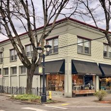
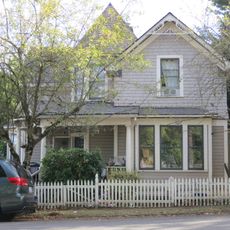
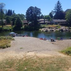
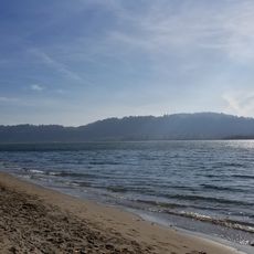
Washougal, city in Washington State, USA
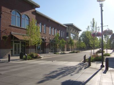
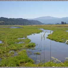
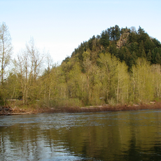
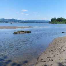
Washougal is a city in Clark County, Washington, located east of Portland where the Columbia River flows through forested terrain. The town serves as a gateway to outdoor recreation with river access and nearby trails.
Washougal developed as a small community along the Columbia River's trade routes in a heavily forested region. It has remained modest in size while Portland's urban area expanded nearby.
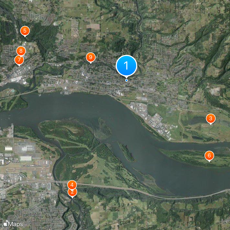
The city sits about 18 miles (30 km) east of Portland and connects easily via Interstate 84 for visitors driving in. Parking and basic services are available along the main road, making it straightforward to explore the area and access nearby trails.
The community of curious travelers
AroundUs brings together thousands of curated places, local tips, and hidden gems, enriched daily by 60,000 contributors worldwide.