
The Castle, mountain peak of the Tatoosh Range in Lewis County, Washington, United States
Location: Washington
Location: Lewis County
Elevation above the sea: 1,963 m
GPS coordinates: 46.75774,-121.72840
Latest update: March 3, 2025 01:02
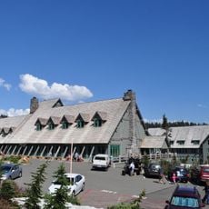
Paradise Inn
3.3 km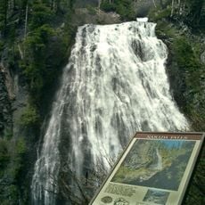
Narada Falls
2.3 km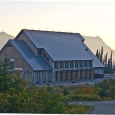
Henry M. Jackson Visitor Center
3.1 km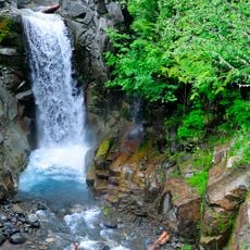
Christine Falls
4.7 km
Paradise Historic District
3.2 km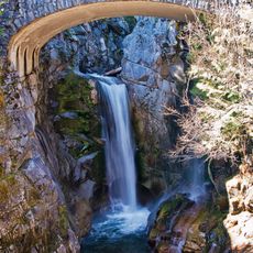
Christine Falls Bridge
4.7 km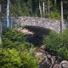
Narada Falls Bridge
2.4 km
Plummer Peak
978 m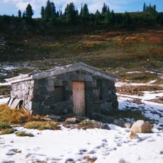
Edith Creek Chlorination House
4 km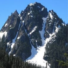
Lane Peak
1.9 km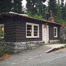
Narada Falls Comfort Station
2.4 km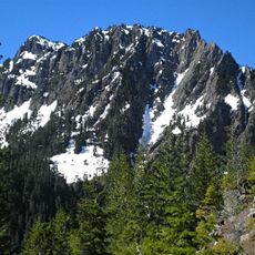
Eagle Peak
3.9 km
Pinnacle Peak
320 m
Foss Peak
1.2 km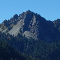
Chutla Peak
3.6 km
Denman Peak
1.1 km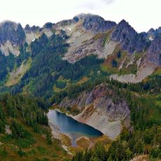
Wahpenayo Peak
3.2 km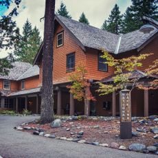
Mount Rainier National Historic Landmark District
3.2 km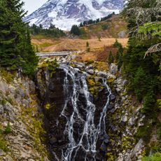
Myrtle Falls
3.7 km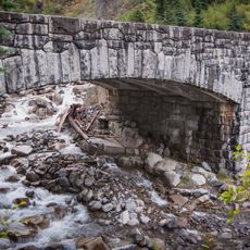
Stevens Creek Bridge
2.8 km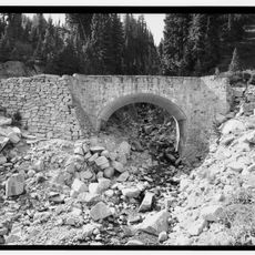
Edith Creek Bridge
3.6 km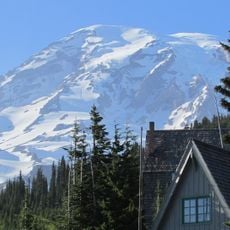
Paradise Ranger Station
3.2 km
Paradise Climbing Information Center
3.2 km
Paradise River Fourth Crossing Bridge
3.6 km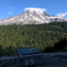
Inspiration Point
2.1 km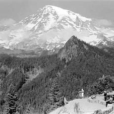
Ricksecker Point
4.2 km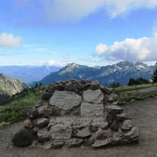
Stevens-Van Trump Historical Monument
4.1 km
Nisqually Glacier Bridge
3.7 kmReviews
Visited this place? Tap the stars to rate it and share your experience / photos with the community! Try now! You can cancel it anytime.
Discover hidden gems everywhere you go!
From secret cafés to breathtaking viewpoints, skip the crowded tourist spots and find places that match your style. Our app makes it easy with voice search, smart filtering, route optimization, and insider tips from travelers worldwide. Download now for the complete mobile experience.

A unique approach to discovering new places❞
— Le Figaro
All the places worth exploring❞
— France Info
A tailor-made excursion in just a few clicks❞
— 20 Minutes