Wonderland Trail, Hiking trail in Mount Rainier National Park, United States
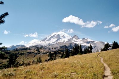
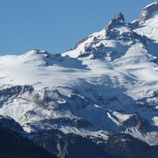
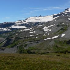
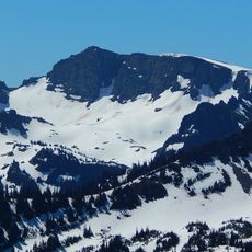
The Wonderland Trail is a hiking path in Pierce County, United States, that forms a complete loop of 93 miles around Mount Rainier. The path crosses through conifer forests, climbs through wildflower meadows, and passes over rocky glacial sections at elevations between 3,000 and 6,750 feet (910 and 2,060 meters).
Park authorities marked this circular route in 1915 to give visitors access to all sides of the mountain. It received official recognition as a nationally important recreation area in 1981.
The route takes its name from early conservationists who felt the area around the volcano was extraordinary and almost magical. Hikers today experience the same sequence of shaded forests, open alpine meadows, and rocky glacial moraines that fascinated those first visitors.
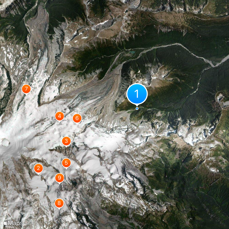
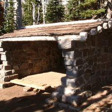
Multi-day trips require a permit for one of the eighteen campsites, which provide tent areas, restrooms, bear-proof storage, and water sources. Most hikers need between eight and twelve days to complete the entire loop.
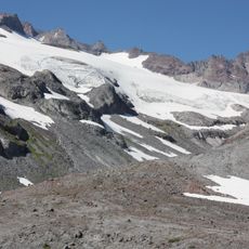
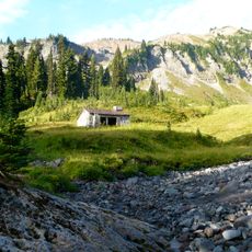
The highest spot sits at Panhandle Gap at 6,750 feet (2,060 meters), where snowfields often remain visible into late summer. Two suspension bridges span wide meltwater rivers and sway gently under the weight of hikers.
The community of curious travelers
AroundUs brings together thousands of curated places, local tips, and hidden gems, enriched daily by 60,000 contributors worldwide.