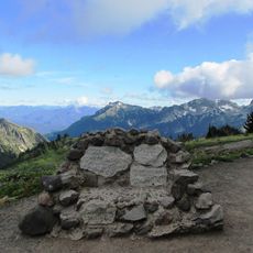
Mount Rainier Wilderness, Protected wilderness area in Washington Cascade Range, United States.
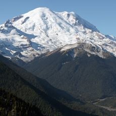
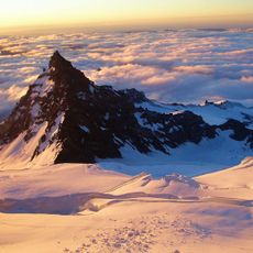
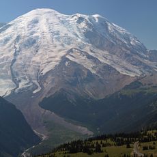
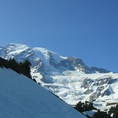
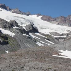
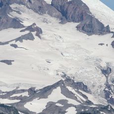
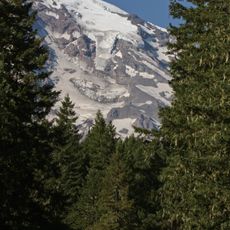
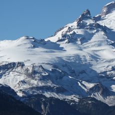
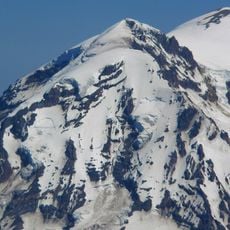
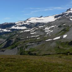
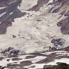
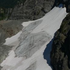
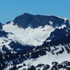
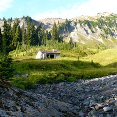
Mount Rainier Wilderness is a protected area in Washington's Cascade Range featuring extensive glaciers, mountain lakes, and river systems spread across multiple watersheds. The landscape varies significantly with elevation, creating distinct ecological zones from lower valleys to high alpine terrain.
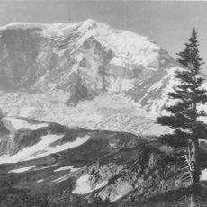
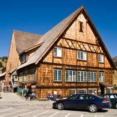
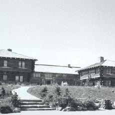
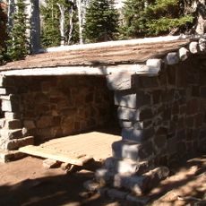
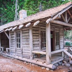
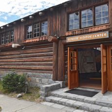
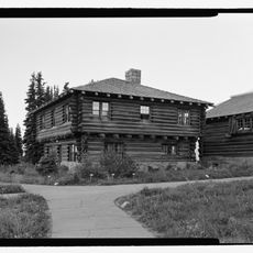
Mount Rainier National Park was created on March 2, 1899, when President William McKinley signed the bill, making it the first national park carved from a national forest. The Pacific Forest Reserve had protected the mountain since 1893. In 1988, 97 percent of the park was designated Mount Rainier Wilderness, and in 1997 the park became a National Historic Landmark for its 1920s and 1930s rustic architecture.
The mountain's Lushootseed name is Tacoma, the same word as the nearby city on Puget Sound. Archeologists found a projectile point dated roughly 4,000–5,800 years old along the Bench Lake Trail, and a rock shelter with hunting artifacts near Fryingpan Creek used by Columbia Plateau tribes from about 1000 to 300 years ago. A 1963 study by Richard D. Daugherty concluded the area was used most heavily between 8000 and 4500 years ago, for hunting, gathering and occasional spirit quests rather than permanent settlement.
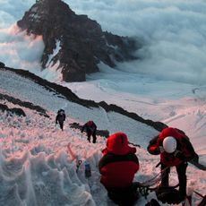
Visiting requires good physical fitness and preparation for alpine conditions with cold temperatures and rapidly changing weather patterns. Bring proper gear and plan for exposure to mountain elements at higher elevations.
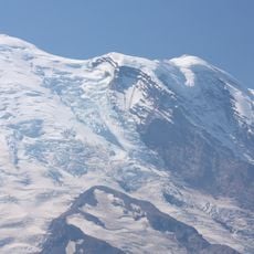
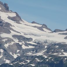
Carbon Glacier holds the largest volume of any glacier in the contiguous United States, while Emmons Glacier covers the greatest area. The two lie on opposite sides of the 14,406-foot summit, so a visitor crossing the park passes from one record-holder to the other.
The community of curious travelers
AroundUs brings together thousands of curated places, local tips, and hidden gems, enriched daily by 93,773 contributors worldwide.