Nisqually Glacier, Mountain glacier in Mount Rainier National Park, United States.
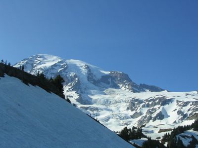
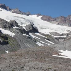
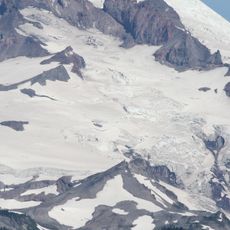
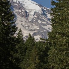
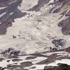
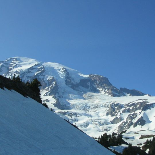
Nisqually Glacier descends the southwestern face of Mount Rainier, its white ice streaked with grey rocky debris and dark exposed rock bands on the steep upper faces and along the right side. Crevasses and ridges cut across its uneven middle and lower sections. On the left, a snowy slope rises into the foreground, edged by dark coniferous trees, while bare rocky cliffs stand above the ice against a clear blue sky.
The glacier reached its maximum size around the 1850s, when ice extended well below where the current bridge crosses it. Since then it has continuously retreated as temperatures have risen over the decades.
The glacier feeds the Nisqually River, which carries its meltwater down the mountain. Its terminus has been measured annually since 1918, making it perhaps the longest-studied glacier on Mount Rainier. In May 1970 it was recorded moving an average of 29 inches (740 mm) per day.
The glacier can be viewed from the Nisqually Vista Trail near Paradise, which has multiple stopping points for observing the ice from different angles. Clear weather offers the best views, and the trail is open year-round though snow may limit winter access.
Nisqually Glacier is one of four glaciers on Mount Rainier known to have released debris flows, the others being Winthrop, Kautz and South Tahoma. In May 1970 its ice was measured moving an average of 29 inches (740 mm) per day. Between 1896 and 2021 it shrank from 3.871 to 1.584 square miles.
The community of curious travelers
AroundUs brings together thousands of curated places, local tips, and hidden gems, enriched daily by 93,771 contributors worldwide.