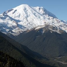
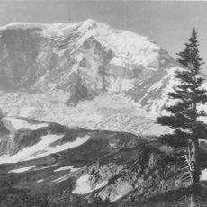
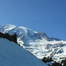
Tahoma Glacier, Glacier at Mount Rainier, Washington, United States
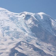
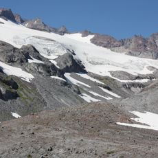
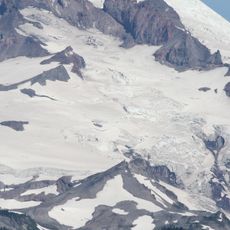
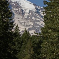
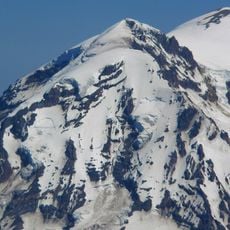
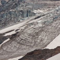
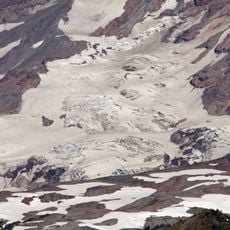
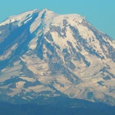
Tahoma Glacier runs down the western flank of Mount Rainier, covering 1.2 square miles (3.1 km2) and holding 4.3 billion cubic feet of ice. From the summit area above 14,200 feet it drops as an icefall between 13,200 and 11,000 feet, where it meets the South Mowich Glacier in the Sunset Amphitheater. Below 10,000 feet it widens and joins the smaller South Tahoma Glacier, then narrows past the 7,690-foot rocky Glacier Island before splitting into two arms.
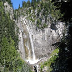
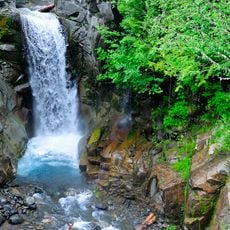
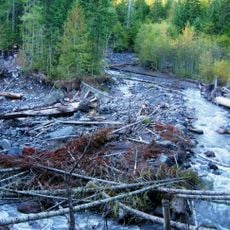
This glacier formed over centuries and shaped the region's landscape through its meltwater, which created rivers like the South Puyallup River and Tahoma Creek. The ice mass was instrumental in carving the natural geography of this mountain area.
The name Tahoma comes from the mountain itself; the glacier carries it because it drains the summit's west flank. Its meltwater feeds Tahoma Creek, a tributary of the Nisqually River, and the South Puyallup River, so the ice is tied to the waterways below. Glacier Island, a 7,690-foot sub-peak, was once fully encircled by the Tahoma and South Tahoma Glaciers.
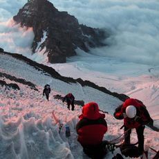
The glacier is not reached by trail; climbers approach it from the summit area of Mount Rainier, descending the icefall between 13,200 and 11,000 feet. The icefall is steep and heavily crevassed, and the glacier's lower arms end on rocky ground above 5,500 feet. Check current conditions and route beta before attempting any approach.
The glacier splits into two separate arms around Glacier Island, with each arm flowing in different directions and carving distinct valleys. This division makes it a striking example of how ice navigates around natural obstacles.
The community of curious travelers
AroundUs brings together thousands of curated places, local tips, and hidden gems, enriched daily by 94,196 contributors worldwide.