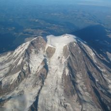
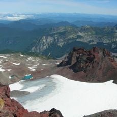
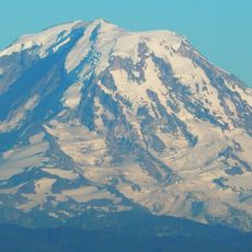
Puyallup Glacier, Alpine glacier on Mount Rainier, Washington, United States.
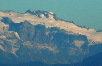
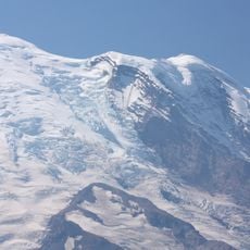
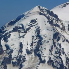
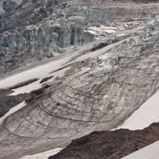
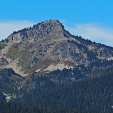
Puyallup Glacier is an alpine glacier on Mount Rainier that flows westward from the Sunset Amphitheater basin, covering a broad expanse of ice across the mountain's western slope. The ice mass descends significantly through the mountain terrain, connecting high elevation zones to lower valley systems.
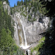
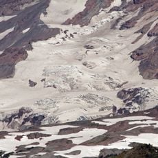
The glacier reached its maximum extent around 1840, extending far beyond the hanging valley that feeds into the North Puyallup River. Since that time, the ice mass has receded considerably, like most mountain glaciers in the region.
The glacier takes its name from the Puyallup Indian tribe, who historically inhabited the lands around the Puyallup River valley. Visitors walking through the region today encounter this indigenous connection woven into the landscape's identity.
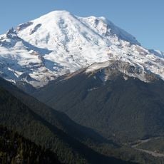
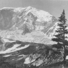
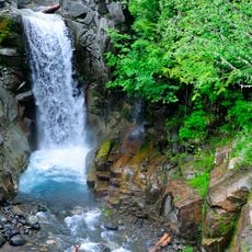
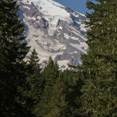
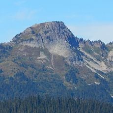
You can best view the glacier from Mount Rainier's western approach, where hiking trails offer close views of the ice field and surrounding mountain terrain. The warmer months provide the easiest access and the clearest views of the ice mass and its movement patterns.
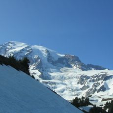
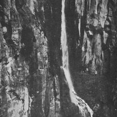
When snow accumulates heavily, the glacier develops a distinctive ice bulge that creeps downward and creates wave patterns visible in the crevasse formations across its surface. This phenomenon reveals the constant movement and internal forces at work within the ice mass.
The community of curious travelers
AroundUs brings together thousands of curated places, local tips, and hidden gems, enriched daily by 60,000 contributors worldwide.