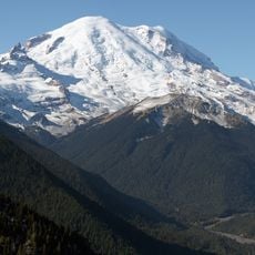
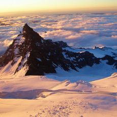
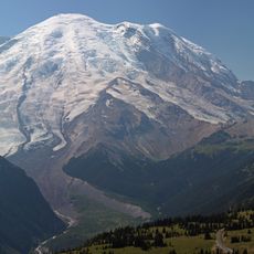
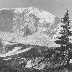
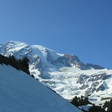
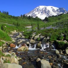
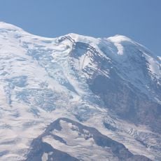
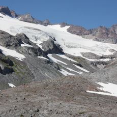
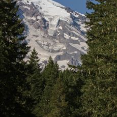
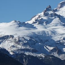
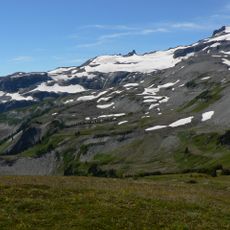
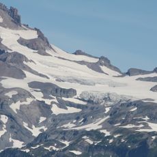
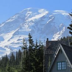
Cowlitz Glacier, Ice formation at Mount Rainier National Park, Washington, US
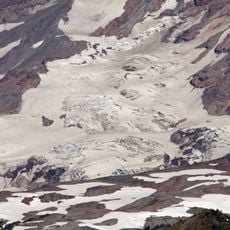
Cowlitz Glacier covers 1.3 square miles (3.4 km2) on the southeast flank of Mount Rainier, with a volume of about 6 billion cubic feet (170 million m3). It begins at roughly 10,700 feet (3,300 m) and flows southeast, meeting the Paradise Glacier along its southwest margin and nearly joining the Ingraham Glacier below. Its meltwater drains into the Cowlitz River.
Around 35,000 years ago the combined Cowlitz and Ingraham glaciers reached about 62 miles (100 km) from Mount Rainier, then retreated north as the Ice Age ended. During the Little Ice Age, which ended around 1850, the two glaciers shared a common terminus. The glacier has since thinned and retreated, except for a notable advance between the mid-1970s and mid-1980s.
The name comes from the Cowlitz River, into which the glacier's meltwater drains. The river in turn carries the name of the Cowlitz people of the Mount Rainier region. The sources consulted for this glacier record no Lewis and Clark journal entry, so the naming link to 1805 is not documented here.
The best views of the glacier can be found from several spots along Panorama Point, the Skyline Trail, or the Backbone Ridge pullout on Stevens Canyon Road. Visitors should prepare for changing weather and wear sturdy footwear.
During the Little Ice Age, which ended around 1850, the Cowlitz and Ingraham glaciers shared a common terminus; today they nearly meet again on Rainier's southeast flank. Between the mid-1970s and mid-1980s the glacier also made a notable advance, bucking its longer retreat.
The community of curious travelers
AroundUs brings together thousands of curated places, local tips, and hidden gems, enriched daily by 93,773 contributors worldwide.