Ohanapecosh Glacier, Alpine glacier on Mount Rainier, United States
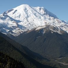
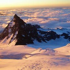
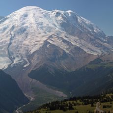
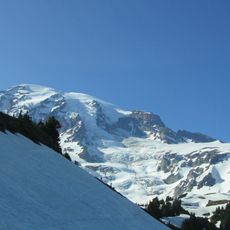
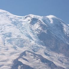
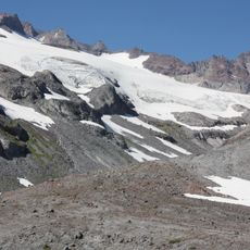
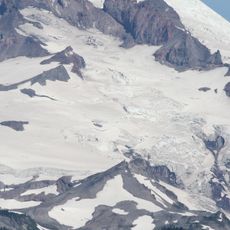
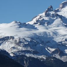
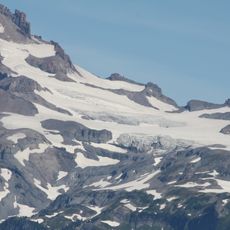
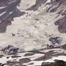
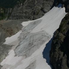
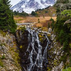
Ohanapecosh Glacier covers 0.6 square miles (1.6 km2) on Mount Rainier's southeastern flanks, east of Whitman Crest, and holds about 1.3 billion cubic feet (37 million m3) of ice. It consists of several ice lobes joined by thin snowfields, mostly between 8,300 and 7,400 feet (2,500 and 2,300 m) near the Whitman and Fryingpan glaciers. Its lower sections end on cliffs and a small valley at about 6,100 feet (1,900 m).
The glacier formed as part of Mount Rainier's long glacial history and has evolved over thousands of years. Its extent and position were shaped by climate patterns and seasonal snow accumulation.
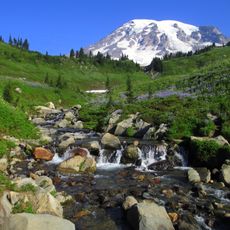
Meltwater from the glacier drains into two rivers: the Ohanapecosh River and the Muddy Fork Cowlitz River. These streams merge about four miles (6 km) outside Mount Rainier National Park, joining the Cowlitz River downstream. The glacier's ice feeds both drainage systems from its cliffs and lower valley at roughly 6,100 ft (1,900 m).
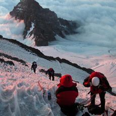
The best time to view the glacier is during warmer months when snow melts and its structure becomes more visible. The steep mountain terrain requires good physical fitness and proper gear for anyone visiting this area.
The glacier's lower ice lobes end on cliffs and a small valley at about 6,100 feet (1,900 m). Meltwater from the glacier drains into the Ohanapecosh River and the Muddy Fork Cowlitz River, which merge about four miles (6 km) outside Mount Rainier National Park into the Cowlitz River.
The community of curious travelers
AroundUs brings together thousands of curated places, local tips, and hidden gems, enriched daily by 93,774 contributors worldwide.