Chest opened
+${chestReward.xp} XP
Explorer
NOUVEAU ×${chestReward.collectible.quantity}
tapez pour fermer

See the monuments around you in AR Open chests in the app

Around Us is built for your phone — point your camera at the streets and discover the monuments and places around you in augmented reality. Around Us is built for your phone — chests unlock when you walk, explore and capture nearby places.

•

Enable Location

We need your location to show you interesting places around you

Discover nearby places

Find interesting locations and hidden gems around you

Precise directions

Get accurate directions and distances to places

Your location is never shared with other users. It's only used when you tap the location button.

Little Tahoma Peak

Log in to your account

Start exploring — it's free

Trusted by 93,771 travelers worldwide

Continue with Google
Continue with Apple
or

We will send you a code to connect

By continuing, you accept our Terms and Conditions and our Privacy Policy

Check your inbox

We've sent a pincode in your inbox. Please enter the code below.

Little Tahoma Peak, Mountain summit in Mount Rainier National Park, Washington, US

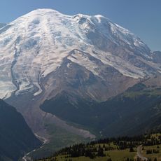
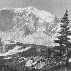
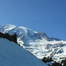
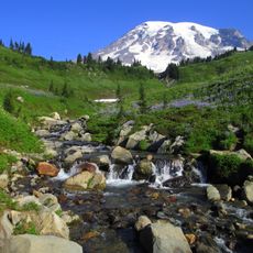
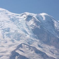
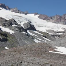
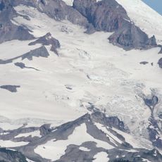
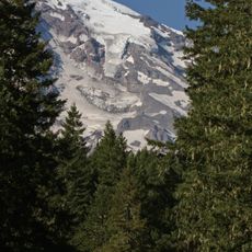
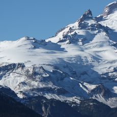
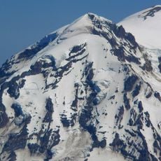
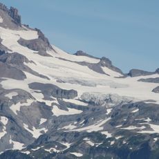
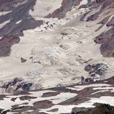
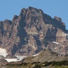
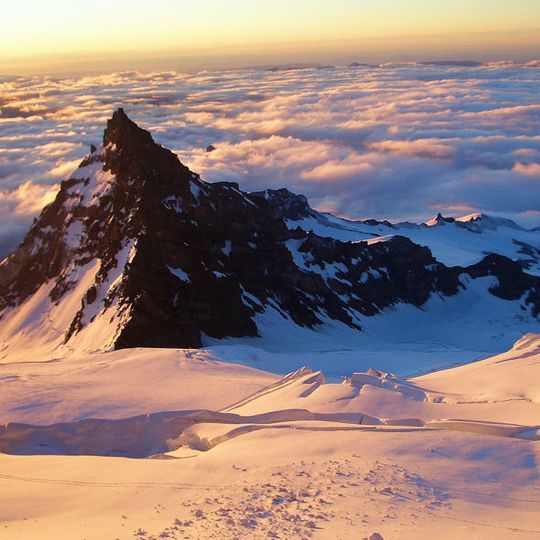
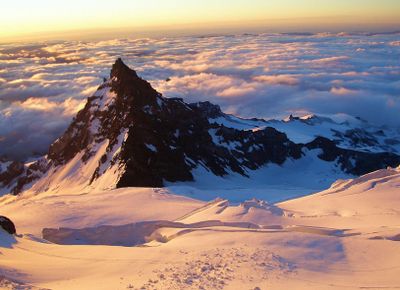
Little Tahoma Peak is a dark, jagged volcanic remnant on the eastern flank of Mount Rainier in Mount Rainier National Park, Washington, rising to about 11,138 feet (3,395 meters). Its near-vertical rock faces are streaked with snow and ice, broad snow-covered shoulders fall away below the sharp summit, and bands of rock break through the snow on the lower slopes. The Fryingpan and Whitman glaciers lie just to its east.

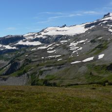
The first recorded ascent took place on August 29, 1894, when J.B. Flett and Henry H. Garrison climbed from Summerland, an alpine meadow in Mount Rainier National Park, via the peak's east shoulder. Little Tahoma is a volcanic remnant of a larger Mount Rainier that erosion has since separated from the main summit.

The name Little Tahoma sets the peak apart from Tahoma, the Native American name for Mount Rainier itself. The first recorded ascent, on 29 August 1894, was made by J.B. Flett and Henry H. Garrison, who climbed from Summerland via the east shoulder. That route from the Summerland meadow remains the easiest approach.

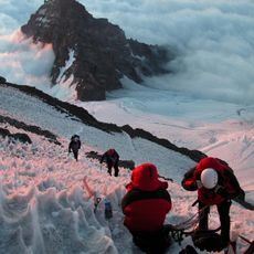
The easiest approach starts from Summerland, the alpine meadow area in Mount Rainier National Park, and the first ascent route of 1894 went up the east shoulder from there. The Fryingpan and Whitman glaciers lie just east of the peak, and the rock is unstable, so plan for rockfall as well as snow.

In 1963, a massive rockfall from the north face sent a large volume of stone crashing down onto the Emmons Glacier below. The debris field is still visible from the climbing routes today, giving a clear sense of how much the peak's shape has changed.

The community of curious travelers

AroundUs brings together thousands of curated places, local tips, and hidden gems, enriched daily by 93,771 contributors worldwide.
Start exploring
Location
Elevation above the sea
3,395 m
GPS coordinates
46.84950,-121.71185
Latest update
November 4, 2026 00:49
Reviews
Share your experience

No review yet

Discussions
Start a discussion...

No discussion yet

« Little Tahoma Peak - Mountain summit in Mount Rainier National Park, Washington, US » is provided by Around Us (aroundus.com). Images and texts are derived from Wikimedia project under a Creative Commons license. You are allowed to copy, distribute, and modify copies of this page, under the conditions set by the license, as long as this note is clearly visible.

Discover hidden gems everywhere you go!

From secret cafés to breathtaking viewpoints, skip the crowded tourist spots and find places that match your style. Our app makes it easy with voice search, smart filtering, route optimization, and insider tips from travelers worldwide. Download now for the complete mobile experience.

Around Us App Screenshot
❝

A unique approach to discovering new places❞

— Le Figaro

❝

All the places worth exploring❞

— France Info

❝

A tailor-made excursion in just a few clicks❞

— 20 Minutes

Around Us
Travel Guide & Maps
Download

Send to your phone

QR Code
1

Open the camera app on your mobile.

2

Point at the QR code with your camera. A notification will appear.

3

Tap the notification to open the link.