
Bald Hill, summit in Thurston County, Washington state, United States of America
Location: Thurston County
Elevation above the sea: 515 m
GPS coordinates: 46.81278,-122.39889
Latest update: July 29, 2025 08:13

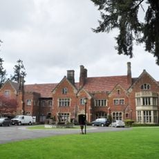
Thornewood
37.2 km
Western Air Defense Sector
35.3 km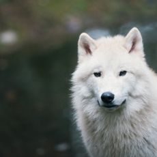
Northwest Trek Wildlife Park
15 km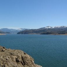
Riffe Lake
38.1 km
Mount Rainier Scenic Railroad
16.5 km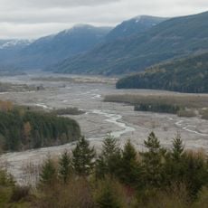
Ike Kinswa State Park
29.5 km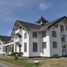
Lewis Army Museum
35.2 km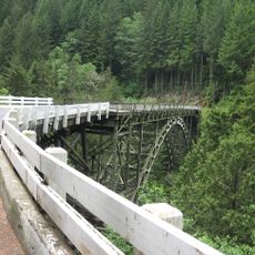
Fairfax Bridge
37.3 km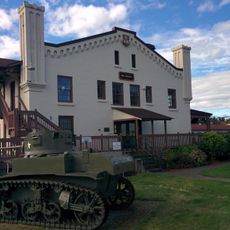
Washington National Guard Museum
35.9 km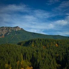
Glacier View Wilderness
35.6 km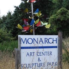
Monarch Contemporary Art Center and Sculpture Park
27.6 km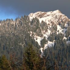
Mount Wow
38.1 km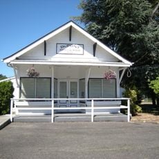
DuPont Museum
36 km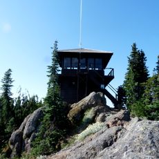
Gobbler's Knob Fire Lookout
36.9 km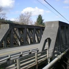
McMillin Bridge
37.4 km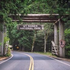
Nisqually Entrance Historic District
37.5 km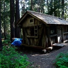
Lake George Patrol Cabin
37.9 km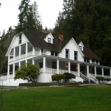
Ashford Mansion
29 km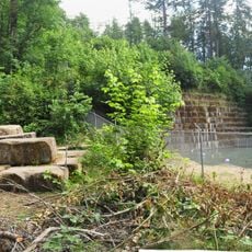
Tenino Stone Company Quarry
34.9 km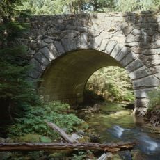
St. Andrews Creek Bridge
37.7 km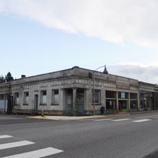
Tenino Downtown Historic District
34.9 km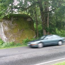
Lake Lawrence erratic
14.9 km
St. Andrews Patrol Cabin
37.9 km
LeMay Collections at Marymount
34.4 km
Old McDebbie's Farm
22.3 km
Recycled Spirits of Iron
20.9 km
DuPont Library
36.2 km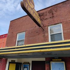
G Theatre
32.3 kmReviews
Visited this place? Tap the stars to rate it and share your experience / photos with the community! Try now! You can cancel it anytime.
Discover hidden gems everywhere you go!
From secret cafés to breathtaking viewpoints, skip the crowded tourist spots and find places that match your style. Our app makes it easy with voice search, smart filtering, route optimization, and insider tips from travelers worldwide. Download now for the complete mobile experience.

A unique approach to discovering new places❞
— Le Figaro
All the places worth exploring❞
— France Info
A tailor-made excursion in just a few clicks❞
— 20 Minutes