Enable Location

We need your location to show you interesting places around you

Discover nearby places

Find interesting locations and hidden gems around you

Precise directions

Get accurate directions and distances to places

Your location is never shared with other users. It's only used when you tap the location button.

Thurston County

Log in to your account

Start exploring — it's free

Trusted by 62,378 travelers worldwide

Continue with Google
Continue with Apple
or

We will send you a code to connect

By continuing, you accept our Terms and Conditions and our Privacy Policy

Check your inbox

We've sent a pincode in your inbox. Please enter the code below.

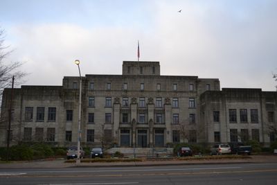
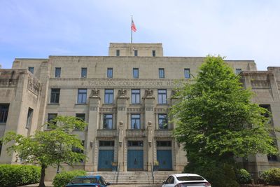
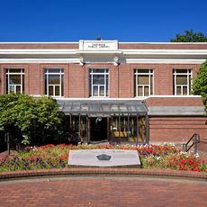
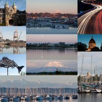
Thurston County, Administrative region in Western Washington, United States

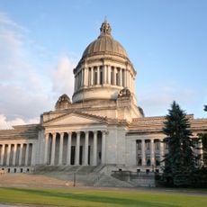
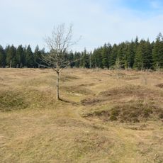
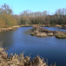
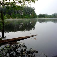
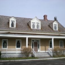
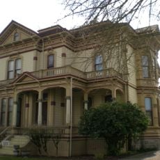
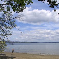
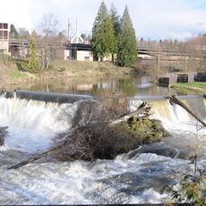
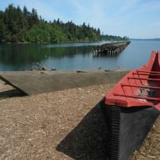
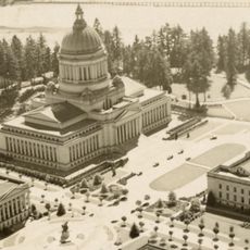
Thurston County stretches across the southern end of Puget Sound in western Washington and includes the state capital Olympia, along with extensive forests and river valleys. The region combines an urban center with surrounding natural landscapes.

The county was established in 1852 from Lewis County and named after Samuel R. Thurston, Oregon Territory's first Congressional representative. This marked the beginning of formal American administrative organization in the area.

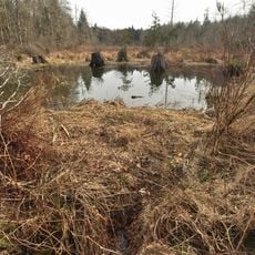
The Nisqually and Squaxin peoples shaped this region for centuries before European settlers arrived in the 1800s. Their heritage remains visible in place names and how the community relates to the natural world.

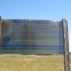
The county provides various public services and facilities accessible to residents through administrative centers like Olympia. Visitors can explore local parks, natural areas, and public spaces without requiring special permits.

The Fix-it-Fair program allows residents to bring broken items for free repairs at community events. This reflects a local focus on sustainability and keeping things out of landfills.

The community of curious travelers

AroundUs brings together thousands of curated places, local tips, and hidden gems, enriched daily by 60,000 contributors worldwide.

Start exploring
Location
Inception
1852
Capital city
Olympia
Shares border with
Pierce County, Lewis County, Grays Harbor County, Mason County
GPS coordinates
46.93000,-122.83000
Latest update
December 17, 2025 09:03
Around this place
Washington State Capitol
United States of America

Washington State Capitol

13.1 km
Mima Mounds
United States of America

Mima Mounds

17.1 km
United States of America

Puyallup Fair

49.2 km
Washington Governor's Mansion
United States of America

Washington Governor's Mansion

13.1 km
Thornewood
United States of America

Thornewood

30.7 km
Western Air Defense Sector
United States of America

Western Air Defense Sector

32.7 km
Timberland Regional Library
United States of America

Timberland Regional Library

13.4 km
Northwest Trek Wildlife Park
United States of America

Northwest Trek Wildlife Park

42.5 km
Billy Frank Jr. Nisqually National Wildlife Refuge
United States of America

Billy Frank Jr. Nisqually National Wildlife Refuge

20 km
Millersylvania State Park
United States of America

Millersylvania State Park

6.7 km
Fort Steilacoom
United States of America

Fort Steilacoom

34.3 km
Ezra Meeker Mansion
United States of America

Ezra Meeker Mansion

50.3 km
Capitol State Forest
United States of America

Capitol State Forest

26 km
Mima Mounds Natural Area Preserve
United States of America

Mima Mounds Natural Area Preserve

17.2 km
Tacoma Speedway
United States of America

Tacoma Speedway

37.2 km
Tolmie State Park
United States of America

Tolmie State Park

21.3 km
Lewis Army Museum
United States of America

Lewis Army Museum

25.5 km
United States of America

Summit Lake

25 km
Tumwater Falls
United States of America

Tumwater Falls

11 km
United States of America

Lakewold Gardens

32.7 km
United States of America

Chehalis Western Trail

8.2 km
Woodard Bay Natural Resources Conservation Area
United States of America

Woodard Bay Natural Resources Conservation Area

23 km
Olympic Flight Museum
United States of America

Olympic Flight Museum

7.3 km
United States of America

McChord Air Museum

33.2 km
United States of America

Hope Island Marine State Park - Mason County

29.6 km
Temple of Justice
United States of America

Temple of Justice

13.2 km
United States of America

Eagle Island Marine State Park

30.4 km
Rhodesleigh
United States of America

Rhodesleigh

34 km
Show the full map
Administrative divisions
« Thurston County - Administrative region in Western Washington, United States » is provided by Around Us (aroundus.com). Images and texts are derived from Wikimedia project under a Creative Commons license. You are allowed to copy, distribute, and modify copies of this page, under the conditions set by the license, as long as this note is clearly visible.

Discover hidden gems everywhere you go!

From secret cafés to breathtaking viewpoints, skip the crowded tourist spots and find places that match your style. Our app makes it easy with voice search, smart filtering, route optimization, and insider tips from travelers worldwide. Download now for the complete mobile experience.

Around Us App Screenshot

A unique approach to discovering new places

Le Figaro

All the places worth exploring

France Info

A tailor-made excursion in just a few clicks

20 Minutes

Around Us
Travel Guide & Maps
Download

Send to your phone

QR Code
1

Open the camera app on your mobile.

2

Point at the QR code with your camera. A notification will appear.

3

Tap the notification to open the link.