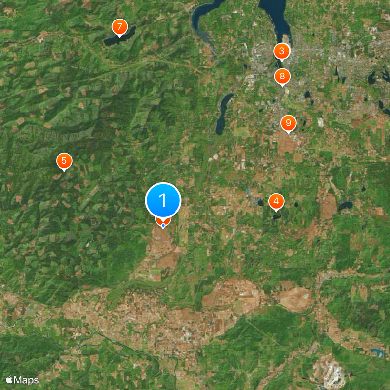
Mima Mounds, Natural mound formation in Thurston County, United States.
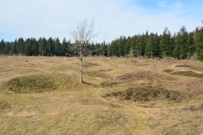
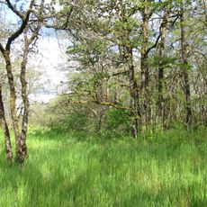
Mima Mounds is a natural area filled with hundreds of dome-shaped earthen mounds spread across the landscape. These formations range from 10 feet (3 m) to 165 feet (50 m) in diameter, with heights reaching up to 6 feet (2 m).
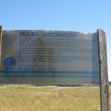
The National Park Service designated this area as a National Natural Landmark in 1966 due to its geological significance. This official recognition helped protect the mounds and made them a focus for ongoing scientific study.
The name Mima comes from Chinook Jargon, a trade language that once connected different peoples in the Pacific Northwest. This linguistic connection reveals how the land was understood and named by those who lived here long before it became a protected area.
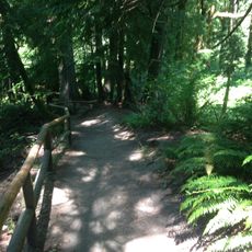
A paved trail about a half-mile long makes it easy to walk through the area, with additional gravel paths extending another two miles for those who want to explore further. An observation deck lets you see the mound pattern from above and learn more about the landscape.
Scientists still debate what created these mounds, with leading theories pointing to pocket gopher tunneling, ancient earthquakes, or wind-blown sediment settling over time. This ongoing mystery keeps researchers returning to study how landscapes form.
The community of curious travelers
AroundUs brings together thousands of curated places, local tips, and hidden gems, enriched daily by 60,000 contributors worldwide.