
Virginia Peak, mountain in Pierce County, Washington, United States
Location: Washington
Location: Pierce County
Elevation above the sea: 1,490 m
GPS coordinates: 46.94177,-121.90872
Latest update: May 2, 2025 03:25
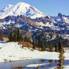
Mount Rainier
15.2 km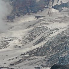
Carbon Glacier
10.2 km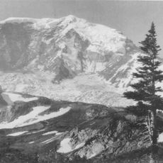
Willis Wall
13.9 km
Tolmie Peak
3 km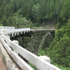
Fairfax Bridge
15 km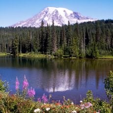
Clearwater Wilderness
14.4 km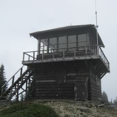
Tolmie Peak Fire Lookout
2.7 km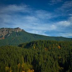
Glacier View Wilderness
16.5 km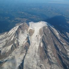
Tahoma Glacier
13.9 km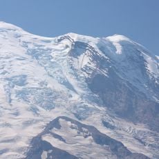
Winthrop Glacier
14.6 km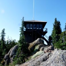
Gobbler's Knob Fire Lookout
16.4 km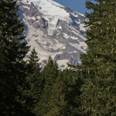
Kautz Glacier
16.5 km
Inter Glacier
15.6 km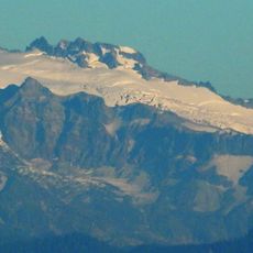
Puyallup Glacier
12.1 km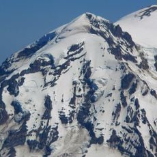
Liberty Cap Glacier
12.8 km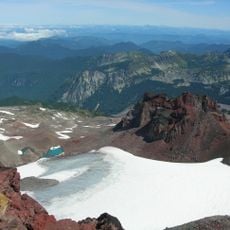
Flett Glacier
9 km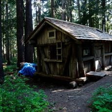
Lake George Patrol Cabin
16.5 km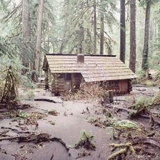
Ipsut Creek Patrol Cabin
7.1 km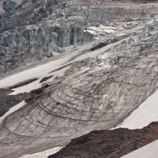
Russell Glacier
10.3 km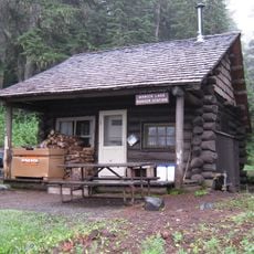
Mowich Lake Patrol Cabin
3.6 km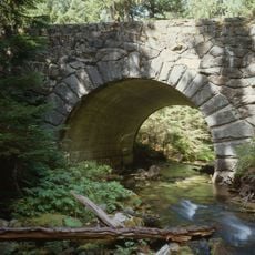
St. Andrews Creek Bridge
11.8 km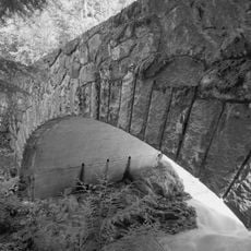
South Puyallup River Bridge
15 km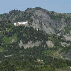
Fay Peak
4.7 km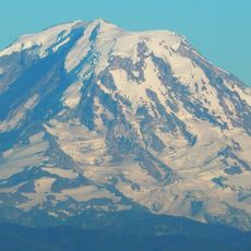
North Mowich Glacier
10.1 km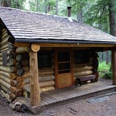
St. Andrews Patrol Cabin
11.8 km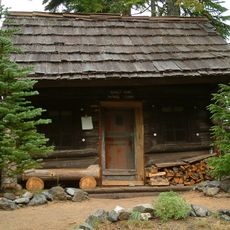
Sunset Park Patrol Cabin
6.6 km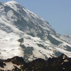
Steamboat Prow
15.5 km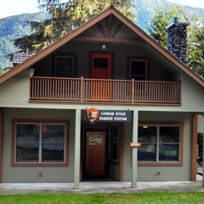
Carbon River Ranger Station
5.9 kmReviews
Visited this place? Tap the stars to rate it and share your experience / photos with the community! Try now! You can cancel it anytime.
Discover hidden gems everywhere you go!
From secret cafés to breathtaking viewpoints, skip the crowded tourist spots and find places that match your style. Our app makes it easy with voice search, smart filtering, route optimization, and insider tips from travelers worldwide. Download now for the complete mobile experience.

A unique approach to discovering new places❞
— Le Figaro
All the places worth exploring❞
— France Info
A tailor-made excursion in just a few clicks❞
— 20 Minutes