
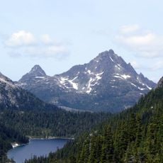
Lower Nimpkish Provincial Park, provincial park in British Columbia, Canada, located on the lower Nimpkish River
Location: Regional District of Mount Waddington
GPS coordinates: 50.53750,-127.01111
Latest update: March 13, 2025 14:06
Strathcona Provincial Park
126.8 km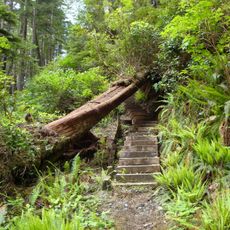
Cape Scott Provincial Park
95.8 km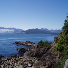
Muqqiwn Provincial Park
70.5 km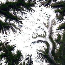
Ha-Iltzuk Icefield
124.3 km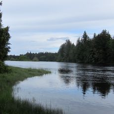
Nimpkish River
40.7 km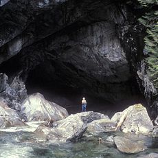
Artlish Caves Provincial Park
41.8 km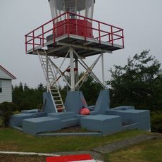
Cape Scott Lighthouse
103.6 km
Salmon River
78.8 km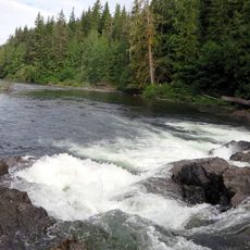
Marble River Provincial Park
36.5 km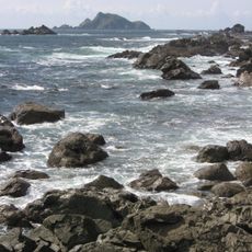
Solander Island Ecological Reserve
62.4 km
Scarlett Point Lighthouse
55.6 km
Raft Cove Provincial Park
86.6 km
Quatsino Provincial Park
57.2 km
Woss Lake Provincial Park
55.9 km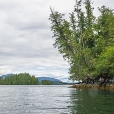
Penrose Island Marine Provincial Park
114.6 km
Echo Bay Marine Provincial Park
43.5 km
Bligh Island Marine Provincial Park
106.1 km
Broughton Archipelago Marine Provincial Park
28.3 km
Big Bunsby Marine Provincial Park
59 km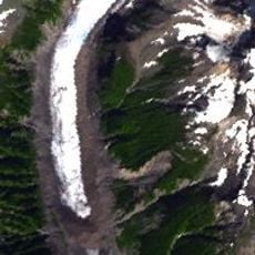
Kingcome River
90.5 km
Muchalat Inlet
112.8 km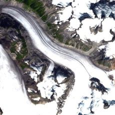
Pashleth Glacier
123.7 km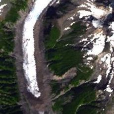
Kingcome Glacier
110.4 km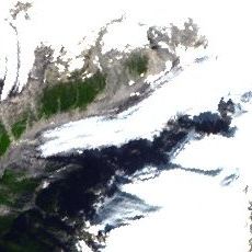
Trudel Glacier
112.1 km
Zeballos Peak
52 km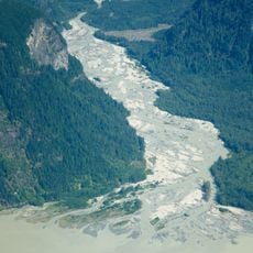
Franklin River
124.7 km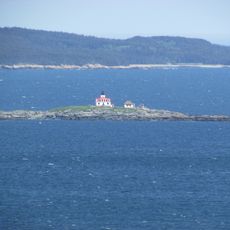
Egg Island Lighthouse
98 km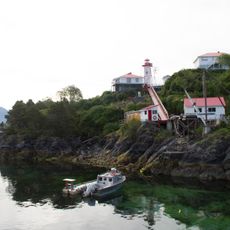
Nootka Lighthouse
108.9 kmReviews
Visited this place? Tap the stars to rate it and share your experience / photos with the community! Try now! You can cancel it anytime.
Discover hidden gems everywhere you go!
From secret cafés to breathtaking viewpoints, skip the crowded tourist spots and find places that match your style. Our app makes it easy with voice search, smart filtering, route optimization, and insider tips from travelers worldwide. Download now for the complete mobile experience.

A unique approach to discovering new places❞
— Le Figaro
All the places worth exploring❞
— France Info
A tailor-made excursion in just a few clicks❞
— 20 Minutes