
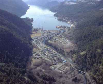
Tahsis, village in British Columbia, Canada
Location: Strathcona Regional District
Elevation above the sea: 30 m
Website: http://villageoftahsis.com
GPS coordinates: 49.92580,-126.62100
Latest update: March 9, 2025 02:55
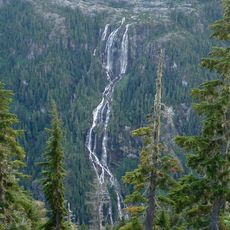
Della Falls
94.2 km
Golden Hinde
69.3 km
Strathcona Provincial Park
73 km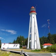
Estevan Point lighthouse
60.7 km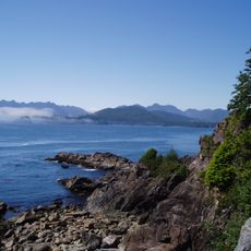
Muqqiwn Provincial Park
86.4 km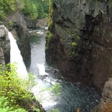
Elk Falls Provincial Park
94.3 km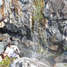
Ramsay Hot Springs
69 km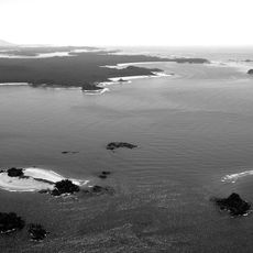
Vargas Island Provincial Park
93.5 km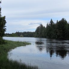
Nimpkish River
35.5 km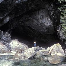
Artlish Caves Provincial Park
34.2 km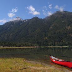
Strathcona-Westmin Provincial Park
86.7 km
Salmon River
70.1 km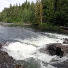
Marble River Provincial Park
94.1 km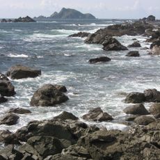
Solander Island Ecological Reserve
55.3 km
Elk Falls Suspension Bridge
93.3 km
Gibson Marine Provincial Park
83.6 km
Woss Lake Provincial Park
19.5 km
Flores Island Provincial Park
77.5 km
Echo Bay Marine Provincial Park
92.3 km
Bligh Island Marine Provincial Park
33.1 km
Broughton Archipelago Marine Provincial Park
84.4 km
Big Bunsby Marine Provincial Park
67.5 km
Maquinna Marine Provincial Park
61.9 km
Muchalat Inlet
40.6 km
Nine Peaks
94.8 km
Zeballos Peak
21.7 km
Nootka Lighthouse
37.1 km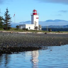
Pulteney Point Lighthouse
87.2 kmReviews
Visited this place? Tap the stars to rate it and share your experience / photos with the community! Try now! You can cancel it anytime.
Discover hidden gems everywhere you go!
From secret cafés to breathtaking viewpoints, skip the crowded tourist spots and find places that match your style. Our app makes it easy with voice search, smart filtering, route optimization, and insider tips from travelers worldwide. Download now for the complete mobile experience.

A unique approach to discovering new places❞
— Le Figaro
All the places worth exploring❞
— France Info
A tailor-made excursion in just a few clicks❞
— 20 Minutes