Pender Island, Island in British Columbia, Canada
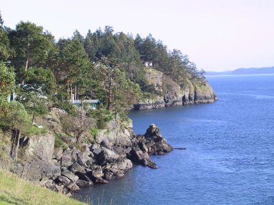
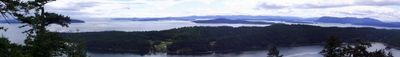
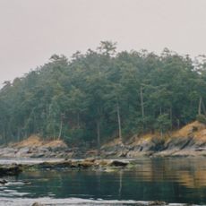
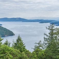
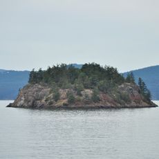
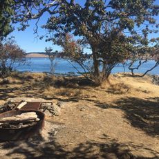
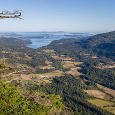
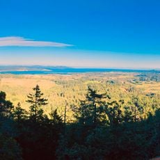
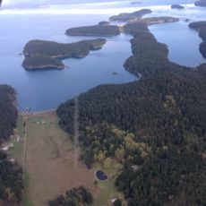
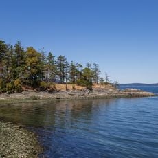
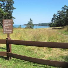
Pender Island consists of North and South Pender, two separate landmasses joined by a single-lane bridge crossing a waterway. The island features small village centers, coastlines, forested areas, and farmland spread across both sections.
The island was originally inhabited by the Tsawout and Tseycum First Nations for generations. It was named after Captain Daniel Pender, who mapped the British Columbia coast in the late 1800s.
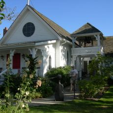
The communities here show deep roots in maritime traditions and local fishing practices that continue to shape daily life on the island. You can see this heritage reflected in the homes and small workshops scattered throughout the villages.
The island is accessible by ferry from Swartz Bay and Tsawwassen terminals, with additional seaplane options available. Upon arrival, renting a car or cycling between the two sections helps you explore the quieter roads and scattered communities.
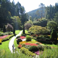
The island is home to Canada's first olive grove at Waterlea Farm, where dry, sunny conditions allow subtropical fruit to grow. This unexpected vineyard takes advantage of the rain shadow effect created by the island's position in the Salish Sea.
The community of curious travelers
AroundUs brings together thousands of curated places, local tips, and hidden gems, enriched daily by 60,000 contributors worldwide.