Enable Location

We need your location to show you interesting places around you

Discover nearby places

Find interesting locations and hidden gems around you

Precise directions

Get accurate directions and distances to places

Your location is never shared with other users. It's only used when you tap the location button.

Liberty Mountain

Log in to your account

Start exploring — it's free

Trusted by 61,565 travelers worldwide

Continue with Google
Continue with Apple
or

We will send you a code to connect

By continuing, you accept our Terms and Conditions and our Privacy Policy

Check your inbox

We've sent a pincode in your inbox. Please enter the code below.

Liberty Mountain

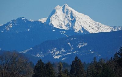
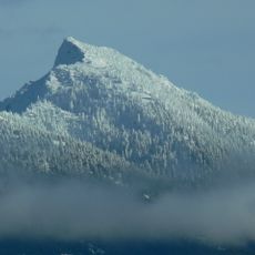
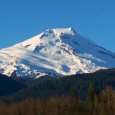
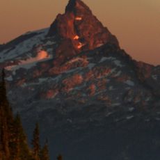
Liberty Mountain, Mountain summit in Snohomish County, United States.

Description

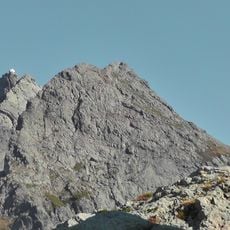
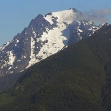
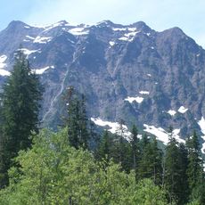
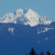
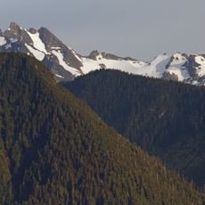
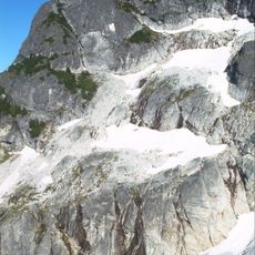
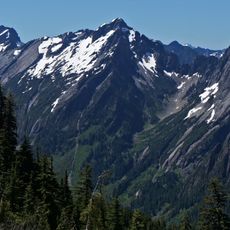
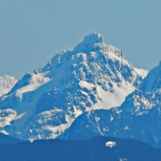
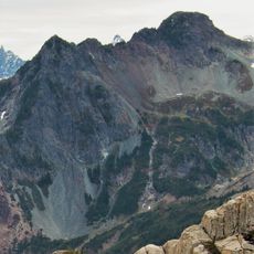
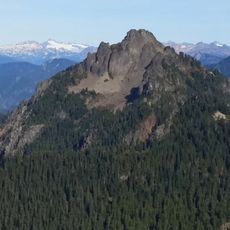
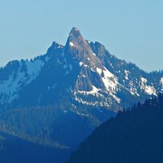
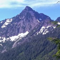
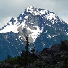
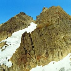
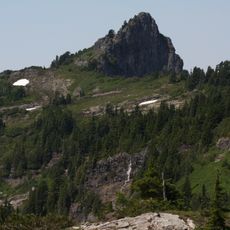
Liberty Mountain is a peak in the Boulder River Wilderness featuring dense coniferous forests and rocky slopes throughout its elevation. The terrain includes steep sections and exposed stone formations that create a rugged landscape.

History

The mountain was named by miners working near Silverton in the late 1800s. It became part of the Mount Baker-Snoqualmie National Forest under federal protection.

Culture

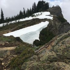
Local climbing groups document their ascents of Liberty Mountain through detailed trip reports, sharing navigation tips and seasonal recommendations with fellow mountaineers.

Practical

The ascent via the southwest ridge begins at Forest Service Road 4111 near Canyon Lake. Visitors need a Northwest Forest Pass for parking at designated trailheads.

Did you know?

The mountain stands 2.3 miles from Three Fingers peak, creating a natural barrier that influences weather patterns and precipitation levels in the surrounding wilderness.

Location
Location
Elevation above the sea
1,731 m
GPS coordinates
48.13011,-121.67123
Latest update
December 14, 2025 20:03

AroundUs brings together thousands of curated places, local tips, and hidden gems, enriched daily by 60,000 contributors worldwide. Discover all places nearby (Washington).

« Liberty Mountain - Mountain summit in Snohomish County, United States » is provided by Around Us (aroundus.com). Images and texts are derived from Wikimedia project under a Creative Commons license. You are allowed to copy, distribute, and modify copies of this page, under the conditions set by the license, as long as this note is clearly visible.

Discover hidden gems everywhere you go!

From secret cafés to breathtaking viewpoints, skip the crowded tourist spots and find places that match your style. Our app makes it easy with voice search, smart filtering, route optimization, and insider tips from travelers worldwide. Download now for the complete mobile experience.

Around Us App Screenshot

A unique approach to discovering new places

Le Figaro

All the places worth exploring

France Info

A tailor-made excursion in just a few clicks

20 Minutes

Around Us
Travel Guide & Maps
Download

Send to your phone

QR Code
1

Open the camera app on your mobile.

2

Point at the QR code with your camera. A notification will appear.

3

Tap the notification to open the link.