Mount Dickerman, Mountain summit in Snohomish County, Washington, United States
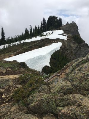
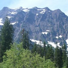
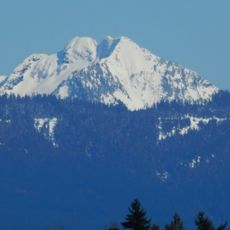
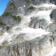
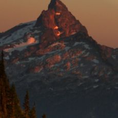
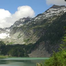
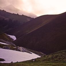
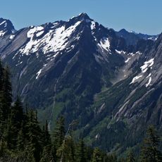
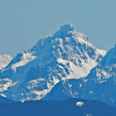
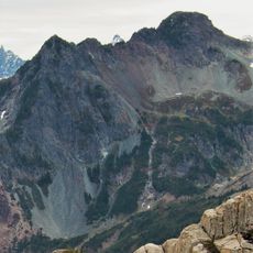
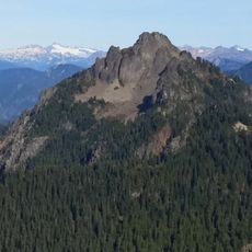
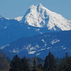
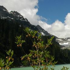
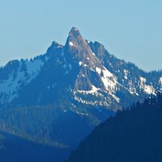
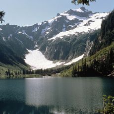
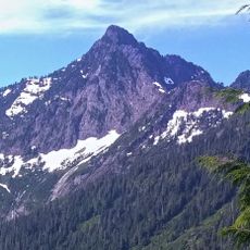
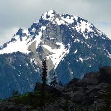
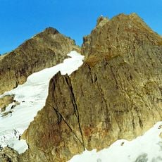
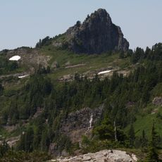
Mount Dickerman is a mountain summit in the North Cascades range that rises to 1,744 meters (5,725 feet), surrounded by thick evergreen forests and open alpine meadows. The steep slopes display different landscapes as you move upward, transitioning from dense woods to more open terrain near the peak.
The mountain was named in the early 1900s after Alton L. Dickerman, a consulting geologist who worked for a mining company operating in the area. This naming reflects a period when the region was actively being explored for natural resources and mining opportunities.
The area holds traditional importance for Indigenous peoples who relied on the mountain's terrain and natural resources for their way of life. Visitors walking through the landscape can sense how deeply this place connects to the communities who have inhabited and used these lands.
The trail is demanding and requires sturdy hiking boots and plenty of water, especially on warm days. Start your hike early in the day to have plenty of daylight, and be prepared for changing weather since clouds can move in quickly at higher elevations.
During winter, the mountain becomes a destination for snowshoeing because the snow transforms the landscape into a different experience. In summer, the slopes are covered with wild blueberries that ripen and offer hikers a tasty reward while walking.
The community of curious travelers
AroundUs brings together thousands of curated places, local tips, and hidden gems, enriched daily by 60,000 contributors worldwide.