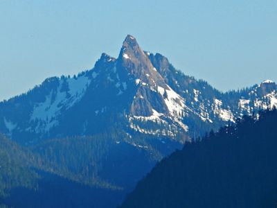
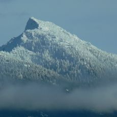
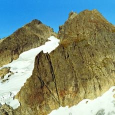
Devils Thumb, Mountain summit in Snohomish County, United States
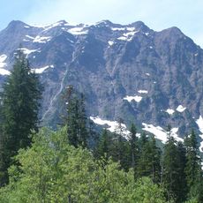
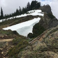
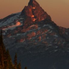
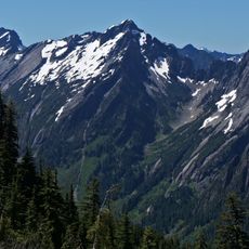
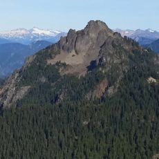
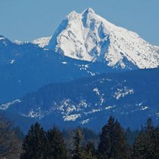
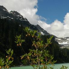
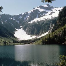
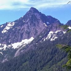
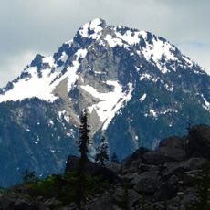
Devils Thumb is a mountain peak in the Mount Baker-Snoqualmie National Forest near Darrington, Washington, distinguished by its striking red-toned rock faces. The summit reaches approximately 5,172 feet above sea level with steep terrain that attracts climbers seeking challenging ascents.
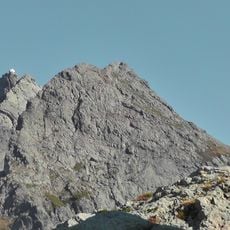
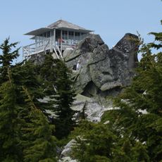
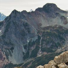
The mountain gained recognition in 1968 when climber Joe Vance completed the first documented ascent of the demanding south ridge route. This achievement marked the peak's introduction to the climbing community and established it as a notable technical objective.
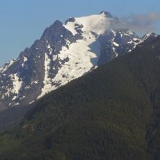
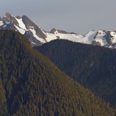
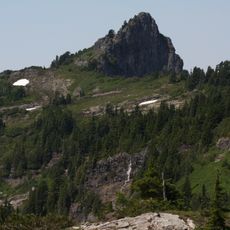
The peak stands as part of the western North Cascades range, where mountaineers test their skills through technical climbing routes throughout the seasons.
Reaching the summit requires driving along forest service roads followed by hiking an old logging path to gain the ridgeline. The journey is physically demanding and best attempted by those with solid mountain experience and appropriate climbing gear.
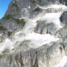
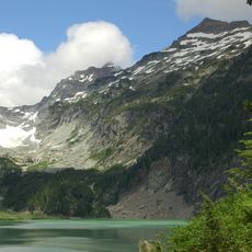
The mountain's south-facing slopes feed water into Coal Creek, which joins the Stillaguamish River system. Meanwhile, the opposite sides drain into Helena Creek, creating a natural watershed divide that demonstrates how the peak influences the broader river network.
The community of curious travelers
AroundUs brings together thousands of curated places, local tips, and hidden gems, enriched daily by 60,000 contributors worldwide.