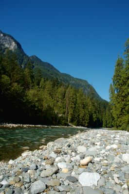
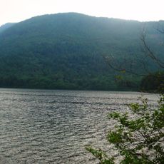
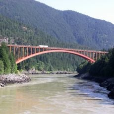
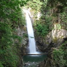
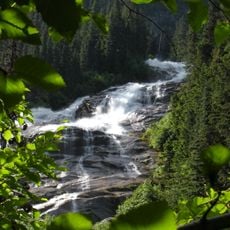
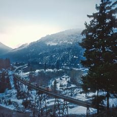
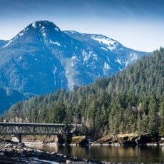
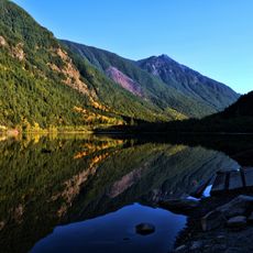
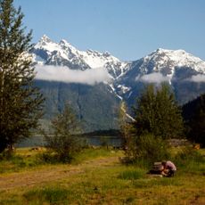
Coquihalla River, Mountain river in Cascade Mountains, British Columbia, Canada.
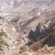
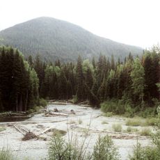
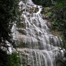
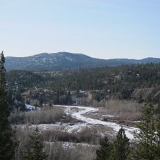
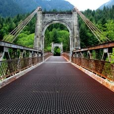
The Coquihala River is a mountain waterway in the Cascade Mountains of British Columbia that winds through a deep, narrow valley. It flows for more than 50 kilometers and drops approximately 1000 meters in elevation before meeting the Fraser River at Hope.
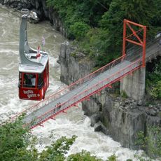
The river was named after a Halkomelem word referring to a deep pool near its mouth where indigenous people traditionally speared fish. This tradition shows how significant this location has been for local populations across many generations.
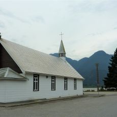
The river's name comes from the Halkomelem language of the Stó:lō people, who have lived along its banks for generations and depended on its waters and fish. Visitors can still see today how this waterway shapes the landscape and human settlements throughout the region.
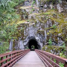
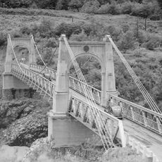
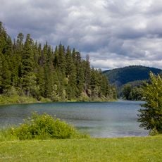
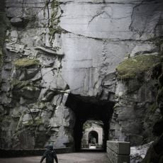
The Coquihala Highway runs alongside the river and offers good access to view the route and valley. The mountain passage is accessible by car, and hikers can explore the water and surroundings from various points along the way.
According to Stó:lō stories, underwater beings existed in the waters that made fishing particularly difficult in earlier times. These accounts remain part of local tradition today and show how indigenous people perceived the power and mystery of the river.
The community of curious travelers
AroundUs brings together thousands of curated places, local tips, and hidden gems, enriched daily by 60,000 contributors worldwide.