Chest opened
+${chestReward.xp} XP
Explorer
NOUVEAU ×${chestReward.collectible.quantity}
tapez pour fermer
Chest locked

Open chests in the app

Around Us is built for your phone — chests unlock when you walk, explore and capture nearby places.

Enable Location

We need your location to show you interesting places around you

Discover nearby places

Find interesting locations and hidden gems around you

Precise directions

Get accurate directions and distances to places

Your location is never shared with other users. It's only used when you tap the location button.

Log in to your account

Start exploring — it's free

Trusted by 73,057 travelers worldwide

Continue with Google
Continue with Apple
or

We will send you a code to connect

By continuing, you accept our Terms and Conditions and our Privacy Policy

Check your inbox

We've sent a pincode in your inbox. Please enter the code below.

California's 8th congressional district
Discussion Reviews Photo
62.2k Popularity

California's 8th congressional district, Congressional district in San Francisco Bay Area, United States.

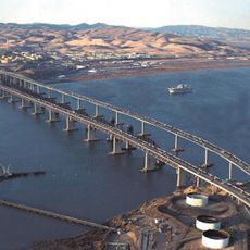
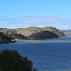
This congressional district covers parts of Contra Costa and Solano Counties, taking in cities such as Vallejo, Fairfield, Richmond, and Martinez. The area includes portions of the eastern San Francisco Bay Area with residential neighborhoods and industrial zones along Interstate 80.

The district was created following the 1900 census and began functioning on March 4, 1903. Its geographic boundaries have been redrawn several times, most recently in 2023, when it moved to a different region.

The district represents a population of over 750,000 residents from diverse backgrounds, with substantial Hispanic, White, Asian, and Black communities shaping its electoral dynamics.

Residents can reach their elected representative through official contact points to raise concerns about federal legislation or regional issues. Most inquiries are handled through district offices or in Washington.

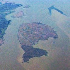
The boundaries of the district were redrawn in 2023, moving it from its previous location to a spot between the Sacramento and San Joaquin Valleys. This redistricting brought a major shift in geographic alignment.

The community of curious travelers

AroundUs brings together thousands of curated places, local tips, and hidden gems, enriched daily by 60,000 contributors worldwide.

Start exploring
Location
Inception
March 4, 1903
GPS coordinates
38.10300,-122.11400
Latest update
December 13, 2025 18:57
Around this place
National Defense Reserve Fleet
United States of America

National Defense Reserve Fleet

3.8 km
Benicia–Martinez Bridge
United States of America

Benicia–Martinez Bridge

7 km
Port Chicago Naval Magazine National Memorial
United States of America

Port Chicago Naval Magazine National Memorial

9 km
USCGC Storis
United States of America

USCGC Storis

3.3 km
United States of America

Glass Beach

7.3 km
Benicia State Recreation Area
United States of America

Benicia State Recreation Area

7.7 km
Carquinez Strait Regional Shoreline
United States of America

Carquinez Strait Regional Shoreline

9.1 km
Ryer Island
United States of America

Ryer Island

9 km
Port Costa School
United States of America

Port Costa School

9.2 km
United States of America

Sulfur Springs Mountain

8.7 km
Old Masonic Hall
United States of America

Old Masonic Hall

6.8 km
Jardín Botánico de Plantas Nativas Forrest Deaner
United States of America

Jardín Botánico de Plantas Nativas Forrest Deaner

5.8 km
United States of America

Duncan Graham Park

5.6 km
United States of America

Maria Field

6.9 km
Benicia Public Library
United States of America

Benicia Public Library

6.6 km
United States of America

Benicia Capitol State Historical Monument

7.1 km
United States of America

City of Benicia Fishing Pier

7.9 km
United States of America

Blue Rock Spring Golf Club - West Course

7.6 km
United States of America

Hiddenbrooke Golf Course

8.1 km
United States of America

Blue Rock Spring Golf Club

7.2 km
United States of America

Blue Rock Spring Golf Club - East Course

6.8 km
United States of America

Bandstand

6.6 km

Martinez Waterfront Amphitheatre

9 km
United States of America

Benicia Plein Air Gallery

7.5 km
United States of America

Benicia Bench

7.5 km
United States of America

Vista Point

6 km
United States of America

Scenic viewpoint

7.9 km
United States of America

Scenic viewpoint

7.9 km
Show the full map
Reviews
Share your experience

No review yet

Discussions
Start a discussion...

No discussion yet

« California's 8th congressional district - Congressional district in San Francisco Bay Area, United States » is provided by Around Us (aroundus.com). Images and texts are derived from Wikimedia project under a Creative Commons license. You are allowed to copy, distribute, and modify copies of this page, under the conditions set by the license, as long as this note is clearly visible.

Discover hidden gems everywhere you go!

From secret cafés to breathtaking viewpoints, skip the crowded tourist spots and find places that match your style. Our app makes it easy with voice search, smart filtering, route optimization, and insider tips from travelers worldwide. Download now for the complete mobile experience.

Around Us App Screenshot

A unique approach to discovering new places

Le Figaro

All the places worth exploring

France Info

A tailor-made excursion in just a few clicks

20 Minutes

Around Us
Travel Guide & Maps
Download

Send to your phone

QR Code
1

Open the camera app on your mobile.

2

Point at the QR code with your camera. A notification will appear.

3

Tap the notification to open the link.