
Coulterville, census-designated place in Mariposa County, California, United States
Location: Mariposa County
Inception: 1850
Elevation above the sea: 518 m
GPS coordinates: 37.71056,-120.19806
Latest update: March 23, 2025 05:24
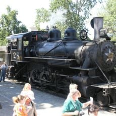
Railtown 1897 State Historic Park
33 km
Lake McClure
10.6 km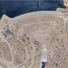
New Don Pedro Dam
19.7 km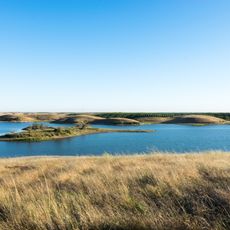
Turlock Lake State Recreation Area
35.1 km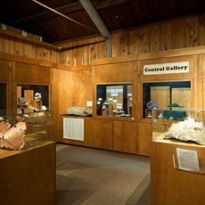
California State Mining and Mineral Museum
35.1 km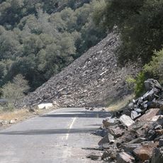
Ferguson landslide
26.8 km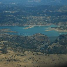
New Exchequer Dam
15.2 km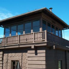
Crane Flat Fire Lookout
33.7 km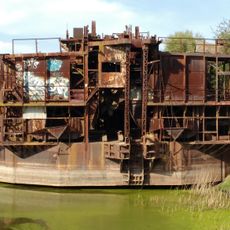
Gold Dredge
26 km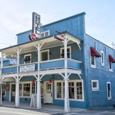
Hotel Charlotte (Groveland, California)
14.6 km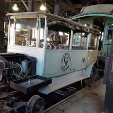
Track Bus No. 19
32.9 km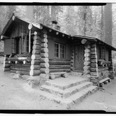
Merced Grove Ranger Station
31.8 km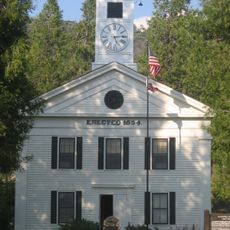
Mariposa County Courthouse
32.4 km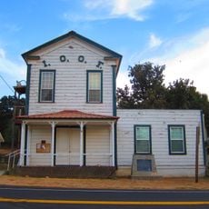
Odd Fellows Hall
23.8 km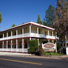
Groveland Hotel
14.6 km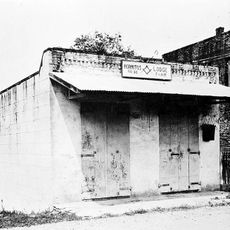
Hornitos Masonic Hall No. 98
23.5 km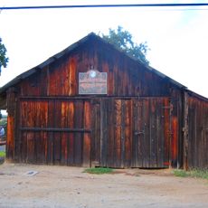
Old Adobe Barn
23.6 km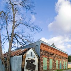
Gamble Building and Miner's Bean Kettle
13.6 km
Crane Flat
31.6 km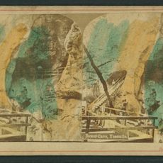
Bower Cave
14.9 km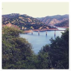
Jacksonville Road Bridge
19.2 km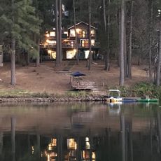
Lake Lodge Beach
15.5 km
High Country Health Food Store & Cafe
31.2 km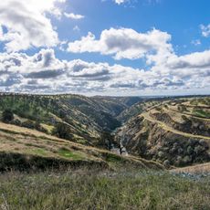
La Grange Dam
22.1 km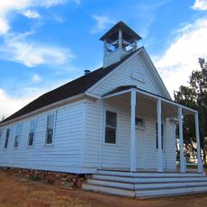
Old La Grange Schoolhouse
23.7 km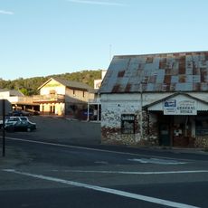
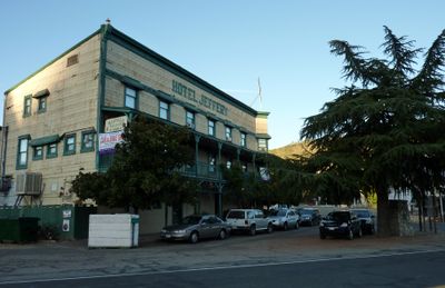
Coulterville Main Street Historic District
79 m
Groveland Ranger Station
15.3 km
Rim of the World Vista
18.7 kmVisited this place? Tap the stars to rate it and share your experience / photos with the community! Try now! You can cancel it anytime.
Discover hidden gems everywhere you go!
From secret cafés to breathtaking viewpoints, skip the crowded tourist spots and find places that match your style. Our app makes it easy with voice search, smart filtering, route optimization, and insider tips from travelers worldwide. Download now for the complete mobile experience.

A unique approach to discovering new places❞
— Le Figaro
All the places worth exploring❞
— France Info
A tailor-made excursion in just a few clicks❞
— 20 Minutes