
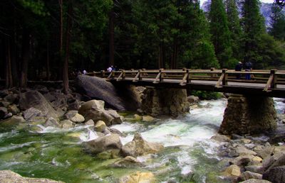
Yosemite Creek Footbridge
Yosemite Creek Footbridge, pont de 1939, dans le comté de Mariposa, en Californie, aux États-Unis
Location: Mariposa County
Inception: 1939
GPS coordinates: 37.74999,-119.59567
Latest update: October 24, 2025 17:19
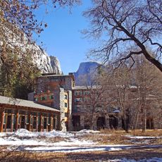
Ahwahnee Hotel
2 km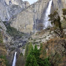
Yosemite Falls
207 m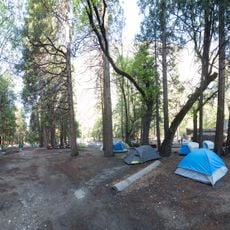
Camp 4
1.1 km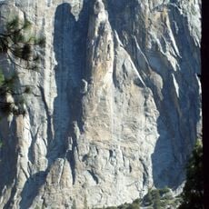
Lost Arrow Spire
709 m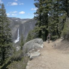
Four Mile Trail
2.1 km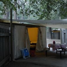
Housekeeping Camp
1.7 km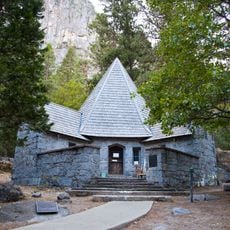
LeConte Memorial Lodge
1.8 km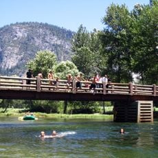
Swinging Bridge
1.5 km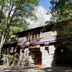
Yosemite Museum & Library
697 m
Royal Arch Cascade
2.2 km
Columbia Boulder
1.1 km
Eagle Peak
1.7 km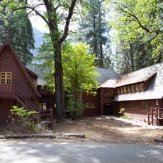
Rangers' Club
839 m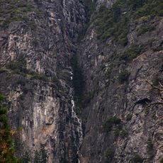
Lehamite Falls
2 km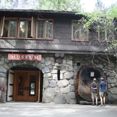
Yosemite Village Historic District
794 m
Yosemite Valley
1.8 km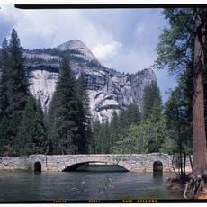
Stoneman Bridge
2.2 km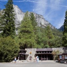
Yosemite Valley Visitor Center
748 m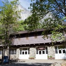
Yosemite National Park Post Office
844 m
Ahwahnee Bridge
2.1 km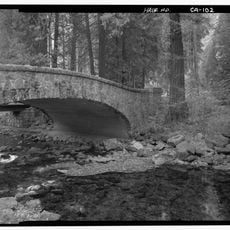
Yosemite Creek Bridge
520 m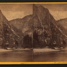
Indian Canyon
1.4 km
Ansel Adams Gallery
794 m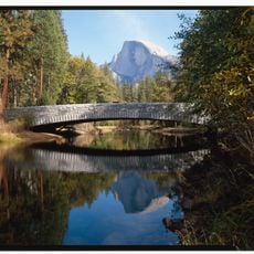
Sentinel Bridge
902 m
Yosemite Wilderness Center
814 m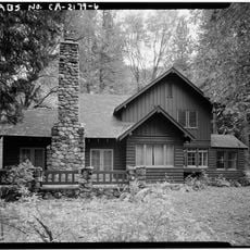
Superintendent's House
705 m
Housekeeping Footbridge
1.8 km
Yosemite Research Library
693 mVisited this place? Tap the stars to rate it and share your experience / photos with the community! Try now! You can cancel it anytime.
Discover hidden gems everywhere you go!
From secret cafés to breathtaking viewpoints, skip the crowded tourist spots and find places that match your style. Our app makes it easy with voice search, smart filtering, route optimization, and insider tips from travelers worldwide. Download now for the complete mobile experience.

A unique approach to discovering new places❞
— Le Figaro
All the places worth exploring❞
— France Info
A tailor-made excursion in just a few clicks❞
— 20 Minutes