Chest opened
+${chestReward.xp} XP
Explorer
NOUVEAU ×${chestReward.collectible.quantity}
tapez pour fermer

See the monuments around you in AR Open chests in the app

Around Us is built for your phone — point your camera at the streets and discover the monuments and places around you in augmented reality. Around Us is built for your phone — chests unlock when you walk, explore and capture nearby places.

Enable Location

We need your location to show you interesting places around you

Discover nearby places

Find interesting locations and hidden gems around you

Precise directions

Get accurate directions and distances to places

Your location is never shared with other users. It's only used when you tap the location button.

Log in to your account

Start exploring — it's free

Trusted by 85,792 travelers worldwide

Continue with Google
Continue with Apple
or

We will send you a code to connect

By continuing, you accept our Terms and Conditions and our Privacy Policy

Check your inbox

We've sent a pincode in your inbox. Please enter the code below.

Pearce Ferry
Discussion Reviews Photo
3.2k Popularity

Pearce Ferry, Protected area along Colorado River in Arizona, US

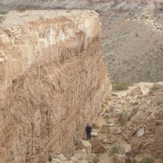
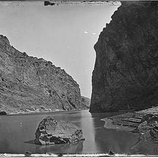
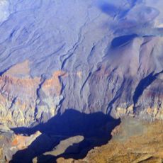
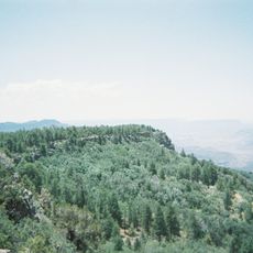
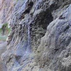
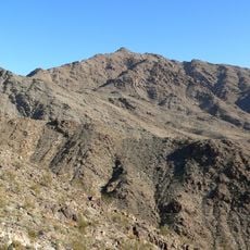
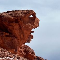
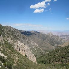
Pearce Ferry is a protected area along the Colorado River in Arizona at a location where Lake Mead transitions toward the Grand Canyon. The terrain displays exposed rock layers and rapids that characterize the water.

The ferry station was established in 1876 by Harrison Pearce and operated until 1938 as a crossing for settlers entering Arizona Territory. It was an important part of settlement routes overseen by Brigham Young.

This location served as a crucial crossing point for settlers moving into Arizona, and that historical purpose has shaped the character of the place. Today visitors can sense the importance of this route when looking down at the river.

The location is accessible only via a long unpaved road branching from US 93. Visitors should prepare for rough conditions and bring a boat for water use or rent one nearby.

The original ferry landing now lies buried beneath river sediment, while the rapids have completely shifted due to water level changes in the lake. This transformation shows how dynamic this river section remains across decades.

The community of curious travelers

AroundUs brings together thousands of curated places, local tips, and hidden gems, enriched daily by 60,000 contributors worldwide.
Start exploring
Location
GPS coordinates
36.11510,-113.99700
Latest update
August 30, 2026 13:07
Around this place
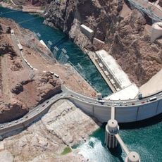
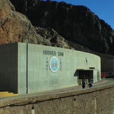
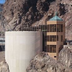
Hoover Dam
United States of America

Hoover Dam

42 mi
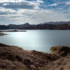
Lake Mead
United States of America

Lake Mead

27.2 mi
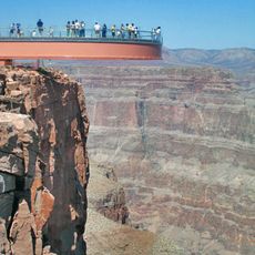
Colin Grand Canyon Skywalk
United States of America

Colin Grand Canyon Skywalk

12.6 mi
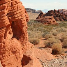
Valley of Fire State Park
United States of America

Valley of Fire State Park

37.3 mi
Mike O'Callaghan–Pat Tillman Memorial Bridge
United States of America

Mike O'Callaghan–Pat Tillman Memorial Bridge

42.2 mi
Double Negative
United States of America

Double Negative

39.6 mi
Black Canyon of the Colorado
United States of America

Black Canyon of the Colorado

45.4 mi
Lost City Museum
United States of America

Lost City Museum

38 mi
El Dorado Canyon
United States of America

El Dorado Canyon

48.8 mi
Nevada Southern Railroad Museum
United States of America

Nevada Southern Railroad Museum

49.1 mi
Lava Falls Trail
United States of America

Lava Falls Trail

51.2 mi
Boulder City Historic District
United States of America

Boulder City Historic District

47.8 mi
Mount Logan Wilderness
United States of America

Mount Logan Wilderness

46.4 mi
Gold Strike Hot Springs
United States of America

Gold Strike Hot Springs

42.4 mi
Willow Beach Gauging Station
United States of America

Willow Beach Gauging Station

41.4 mi
Paiute Wilderness
United States of America

Paiute Wilderness

48.8 mi
Mount Wilson
United States of America

Mount Wilson

35.3 mi
Thomas Leavitt House
United States of America

Thomas Leavitt House

45.9 mi
Parley Hunt House
United States of America

Parley Hunt House

46.2 mi
Sand Hollow Wash Bridge
United States of America

Sand Hollow Wash Bridge

49.3 mi
Horse Valley Ranch
United States of America

Horse Valley Ranch

27.7 mi
Lost City Museum-Archaeology
United States of America

Lost City Museum-Archaeology

38 mi
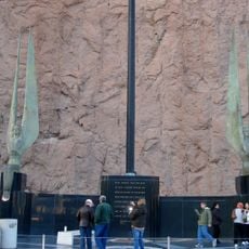
Winged Figures of the Republic
United States of America

Winged Figures of the Republic

42 mi
Hoover Dam Exhibits
United States of America

Hoover Dam Exhibits

42 mi
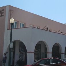
Boulder Theatre
United States of America

Boulder Theatre

47.9 mi
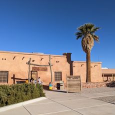
Hoover Dam Visitor Center
United States of America

Hoover Dam Visitor Center

42.1 mi
Alan Bible Visitor Center
United States of America

Alan Bible Visitor Center

45.3 mi
Little Finland
United States of America

Little Finland

26 mi
Show the full map
Reviews
Share your experience

No review yet

Discussions
Start a discussion...

No discussion yet

« Pearce Ferry - Protected area along Colorado River in Arizona, US » is provided by Around Us (aroundus.com). Images and texts are derived from Wikimedia project under a Creative Commons license. You are allowed to copy, distribute, and modify copies of this page, under the conditions set by the license, as long as this note is clearly visible.

Discover hidden gems everywhere you go!

From secret cafés to breathtaking viewpoints, skip the crowded tourist spots and find places that match your style. Our app makes it easy with voice search, smart filtering, route optimization, and insider tips from travelers worldwide. Download now for the complete mobile experience.
Around Us App Screenshot

A unique approach to discovering new places

Le Figaro

All the places worth exploring

France Info

A tailor-made excursion in just a few clicks

20 Minutes

Around Us
Travel Guide & Maps
Download

Send to your phone

QR Code
1

Open the camera app on your mobile.

2

Point at the QR code with your camera. A notification will appear.

3

Tap the notification to open the link.