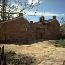
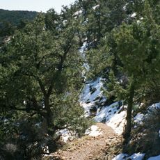
Lava Falls Trail, Hiking trail in El Malpais National Monument, Arizona, US.
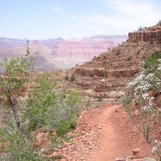
The Lava Falls Trail is a hiking path running through volcanic terrain with jagged rock formations created by multiple lava flows over time. The route displays different lava types side by side, including smooth pahoehoe and rough aa formations shaped into natural hollows and ridges.
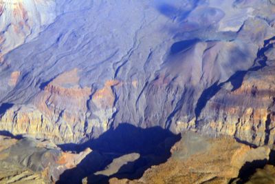
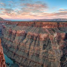
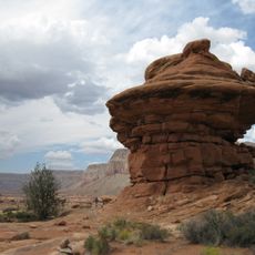
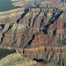
The landscape formed from ancient volcanic eruptions originating from McCartys Crater, with lava flows creating the dark, jagged terrain visible today. These eruptions shaped the monument's distinctive volcanic character thousands of years ago.
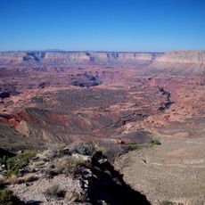
The volcanic landscape served as a landmark and passageway for Native American communities moving through their territories. Dark lava formations guided people and marked important travel routes across the region.
Wear sturdy hiking boots as the ground consists of sharp volcanic rocks and uneven surfaces throughout the path. Bring plenty of water and sun protection since the trail offers little shade and the dark rocks intensify heat.
Stone cairns mark the way through natural lava amphitheaters carved by cooling lava flows. These rock guides help hikers navigate the winding path through the volcanic landscape without getting lost.
The community of curious travelers
AroundUs brings together thousands of curated places, local tips, and hidden gems, enriched daily by 60,000 contributors worldwide.