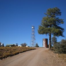
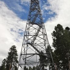
Tuckup Trail, Hiking trail in Grand Canyon National Park, Arizona
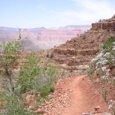
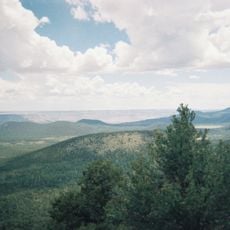
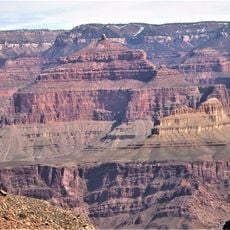
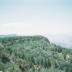
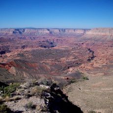
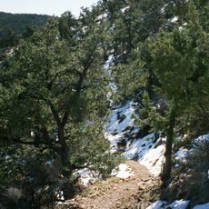
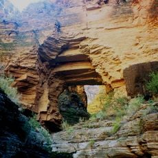
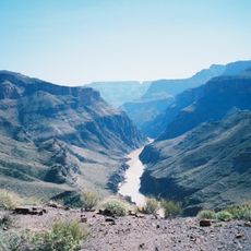
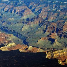
Tuckup Trail is a hiking route along the North Rim of the Grand Canyon that winds through varied landscapes connecting two distant points. The path crosses plateaus, descends into canyons, and passes volcanic fields, offering diverse scenery throughout the journey.
The route began as a cattle path where ranchers herded livestock across this remote terrain. Encampments and structures along the way mark its importance as a key ranching corridor in the area.
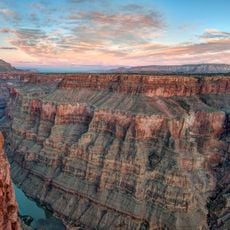
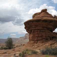
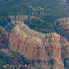
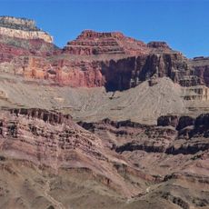
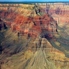
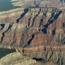
The trail follows routes first used by cattlemen, and cowboy camps remain along its length. It crosses the Esplanade Sandstone of the Supai formation, and hikers pass the bases of Toroweap Point, Big Point (Tuckup Point) and, twelve miles east, SB Point.
Hikers should prepare for hot and dry conditions and carry plenty of water, as reliable sources are sparse along the way. Knowing the location of water sources like Schmutz Spring is essential for planning a safe route.
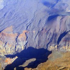
The trail crosses the bases of Toroweap Point, Big Point (also called Tuckup Point) and, 12 miles east, SB Point. From the Toroweap Overlook end, the Toroweap Fault has dropped the ground to the west, and the Uinkaret volcanic field's Lava Falls and Vulcan's Throne stand in view.
The community of curious travelers
AroundUs brings together thousands of curated places, local tips, and hidden gems, enriched daily by 94,459 contributors worldwide.