Mount Wilson, Mountain summit in Mohave County, Arizona, US
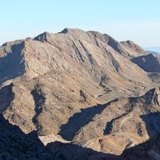
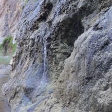
Mount Wilson is a peak in the Black Mountains rising approximately 5,445 feet above sea level. Steep slopes and natural springs feed the landscape and support animal populations across the arid terrain.
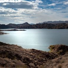
Mount Wilson Wilderness, a 23,900-acre protected area centered on the mountain, was established in 1990 under the Arizona Desert Wilderness Act. The Bureau of Land Management manages it, and it includes eight miles of the Wilson Ridge. It is surrounded by the Lake Mead National Recreation Area.
Mount Wilson Wilderness, 23,900 acres around the peak, was established in 1990 under the Arizona Desert Wilderness Act and is managed by the Bureau of Land Management. The protected area takes in eight miles of the Wilson Ridge and is bordered by the Lake Mead National Recreation Area.
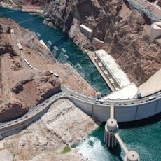
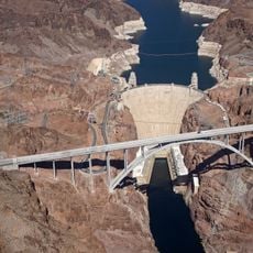
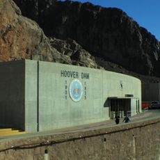
The route heads south from Las Vegas on US 93 and crosses Hoover Dam before turning onto Temple Bar Road. The final section follows unmarked primitive tracks that need high-clearance vehicles to navigate safely.
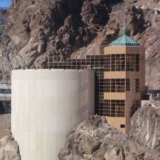
The summit has about 3,205 feet of prominence, making it visible from the Las Vegas Strip far below. From the top you can see Hoover Dam and the surrounding desert landscape stretching far into the distance.
The community of curious travelers
AroundUs brings together thousands of curated places, local tips, and hidden gems, enriched daily by 93,717 contributors worldwide.