Chest opened
+${chestReward.xp} XP
Explorer
NOUVEAU ×${chestReward.collectible.quantity}
tapez pour fermer

See the monuments around you in AR Open chests in the app

Around Us is built for your phone — point your camera at the streets and discover the monuments and places around you in augmented reality. Around Us is built for your phone — chests unlock when you walk, explore and capture nearby places.

Enable Location

We need your location to show you interesting places around you

Discover nearby places

Find interesting locations and hidden gems around you

Precise directions

Get accurate directions and distances to places

Your location is never shared with other users. It's only used when you tap the location button.

Log in to your account

Start exploring — it's free

Trusted by 86,292 travelers worldwide

Continue with Google
Continue with Apple
or

We will send you a code to connect

By continuing, you accept our Terms and Conditions and our Privacy Policy

Check your inbox

We've sent a pincode in your inbox. Please enter the code below.

Bonelli's Ferry
Discussion Reviews Photo
3.1k Popularity

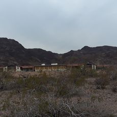
Bonelli's Ferry, Historical ferry crossing point in Clark County, Nevada, United States.

Bonelli's Ferry was a river crossing where the Colorado and Virgin Rivers meet in Nevada. The site now rests underwater, submerged by Lake Mead after a dam was constructed in the 1930s.

Swiss immigrant Daniel Bonelli took over operations of the ferry in 1876. It served as a crucial stop for travelers moving between settlements and mining camps in the region until flooding submerged it.

The ferry site represented a nexus of transportation routes connecting Mormon settlements, mining camps, and trading posts across Nevada, Arizona, and Utah territories.

The site is now underwater and therefore inaccessible for direct visits. Visitors can learn about the crossing's history through museum exhibits or by exploring the broader Lake Mead area.

The ferry service continued operating until 1935 when the rising waters of the newly created Lake Mead covered the entire crossing point.

The community of curious travelers

AroundUs brings together thousands of curated places, local tips, and hidden gems, enriched daily by 60,000 contributors worldwide.
Start exploring
GPS coordinates
36.14860,-114.41500
Latest update
September 12, 2026 02:41
Around this place
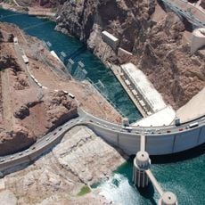
Hoover Dam
United States of America

Hoover Dam

20.2 mi
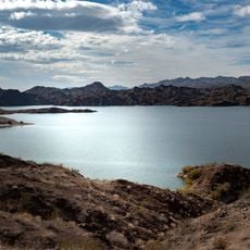
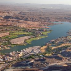
Lake Mead
United States of America

Lake Mead

5.4 mi
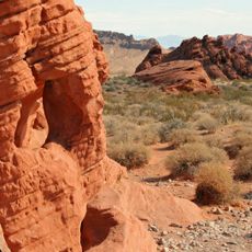
Valley of Fire State Park
United States of America

Valley of Fire State Park

21.1 mi
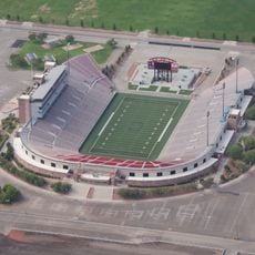
Sam Boyd Stadium
United States of America

Sam Boyd Stadium

33.9 mi
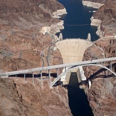
Mike O'Callaghan–Pat Tillman Memorial Bridge
United States of America

Mike O'Callaghan–Pat Tillman Memorial Bridge

20.5 mi
Lake Las Vegas
United States of America

Lake Las Vegas

28.2 mi
Двойной негатив
United States of America

Двойной негатив

32.5 mi
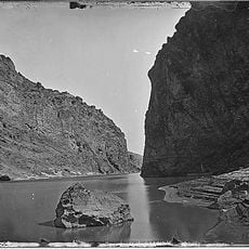
Black Canyon of the Colorado
United States of America

Black Canyon of the Colorado

29 mi
Clark County Heritage Museum
United States of America

Clark County Heritage Museum

31.1 mi
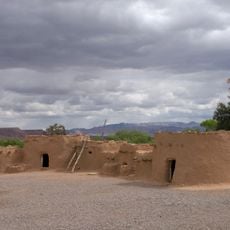
Lost City Museum
United States of America

Lost City Museum

26.5 mi
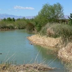
Clark County Wetlands Park
United States of America

Clark County Wetlands Park

34.1 mi
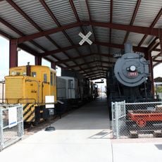
Nevada Southern Railroad Museum
United States of America

Nevada Southern Railroad Museum

27.5 mi
Sunrise Mountain
United States of America

Sunrise Mountain

32.8 mi
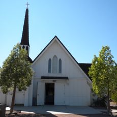
Boulder City Historic District
United States of America

Boulder City Historic District

26.2 mi
Gold Strike Hot Springs
United States of America

Gold Strike Hot Springs

21 mi
Mount Wilson
United States of America

Mount Wilson

15.2 mi
LDS Moapa Stake Office Building
United States of America

LDS Moapa Stake Office Building

27.1 mi
Lost City Museum-Archaeology
United States of America

Lost City Museum-Archaeology

26.5 mi
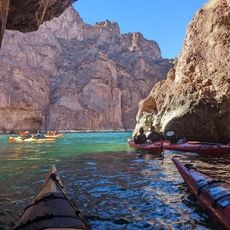
Emerald Cove
United States of America

Emerald Cove

23.4 mi
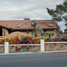
Shan-Gri-La Prehistoric Park (aka the Dinosaur House)
United States of America

Shan-Gri-La Prehistoric Park (aka the Dinosaur House)

32.9 mi
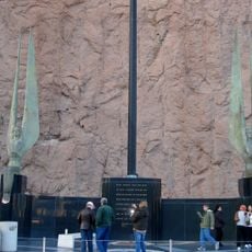
Winged Figures of the Republic
United States of America

Winged Figures of the Republic

20.3 mi
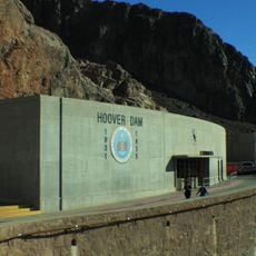
Hoover Dam Exhibits
United States of America

Hoover Dam Exhibits

20.3 mi
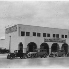
Boulder Theatre
United States of America

Boulder Theatre

26.3 mi
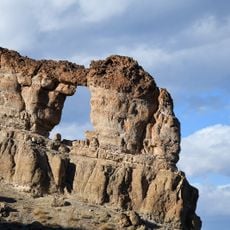
Liberty Bell Arch
United States of America

Liberty Bell Arch

21 mi
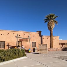
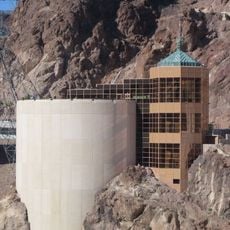
Hoover Dam Visitor Center
United States of America

Hoover Dam Visitor Center

20.3 mi
Alan Bible Visitor Center
United States of America

Alan Bible Visitor Center

23.4 mi
Swim Beach
United States of America

Swim Beach

22.7 mi
North Beach
United States of America

North Beach

23.1 mi
Show the full map
Reviews
Share your experience

No review yet

Discussions
Start a discussion...

No discussion yet

« Bonelli's Ferry - Historical ferry crossing point in Clark County, Nevada, United States » is provided by Around Us (aroundus.com). Images and texts are derived from Wikimedia project under a Creative Commons license. You are allowed to copy, distribute, and modify copies of this page, under the conditions set by the license, as long as this note is clearly visible.

Discover hidden gems everywhere you go!

From secret cafés to breathtaking viewpoints, skip the crowded tourist spots and find places that match your style. Our app makes it easy with voice search, smart filtering, route optimization, and insider tips from travelers worldwide. Download now for the complete mobile experience.
Around Us App Screenshot

A unique approach to discovering new places

Le Figaro

All the places worth exploring

France Info

A tailor-made excursion in just a few clicks

20 Minutes

Around Us
Travel Guide & Maps
Download

Send to your phone

QR Code
1

Open the camera app on your mobile.

2

Point at the QR code with your camera. A notification will appear.

3

Tap the notification to open the link.