Chest opened
+${chestReward.xp} XP
Explorer
NOUVEAU ×${chestReward.collectible.quantity}
tapez pour fermer

See the monuments around you in AR Open chests in the app

Around Us is built for your phone — point your camera at the streets and discover the monuments and places around you in augmented reality. Around Us is built for your phone — chests unlock when you walk, explore and capture nearby places.

Enable Location

We need your location to show you interesting places around you

Discover nearby places

Find interesting locations and hidden gems around you

Precise directions

Get accurate directions and distances to places

Your location is never shared with other users. It's only used when you tap the location button.

Double Negative

Log in to your account

Start exploring — it's free

Trusted by 85,922 travelers worldwide

Continue with Google
Continue with Apple
or

We will send you a code to connect

By continuing, you accept our Terms and Conditions and our Privacy Policy

Check your inbox

We've sent a pincode in your inbox. Please enter the code below.

Double Negative
Discussion Reviews 1 Photos
17.3k Popularity

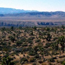
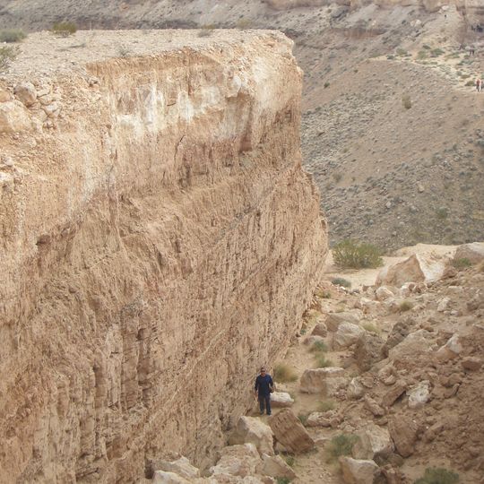
Double Negative, Land art on Mormon Mesa in Clark County, US

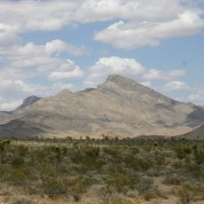
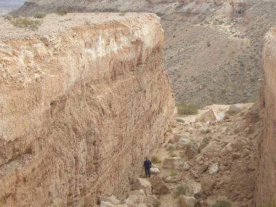
Double Negative is a work of art consisting of two deep cuts carved into the edge of Mormon Mesa, aligned across a natural ravine that runs between them. Each trench extends straight through the reddish sandstone, forming a continuous line about 1500 feet (457 meters) in total length.

Michael Heizer began this work in 1969, using explosives and heavy machinery to remove around 240,000 tons of rock. The Museum of Contemporary Art in Los Angeles became the owner in 1984, accepting the condition that erosion and weather would alter the piece over time.

The Museum of Contemporary Art Los Angeles received Double Negative in 1984 under the condition that nature would gradually transform the installation through erosion.

A vehicle with high clearance is necessary to navigate the unpaved desert tracks leading to the site in Moapa Valley. The drive from Las Vegas takes about two hours and involves dusty roads with no signage.

The work contains no added material but consists entirely of the empty space created by removing rock. Wind and rain gradually alter the edges of the cuts, making the piece a changing object over decades.

The community of curious travelers

AroundUs brings together thousands of curated places, local tips, and hidden gems, enriched daily by 60,000 contributors worldwide.
Start exploring
Location
Creator
Michael Heizer
GPS coordinates
36.61531,-114.34455
Latest update
September 12, 2026 02:42
Around this place
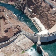
Hoover Dam
United States of America

Hoover Dam

46.9 mi
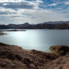
Lake Mead
United States of America

Lake Mead

28.7 mi
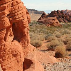
Valley of Fire State Park
United States of America

Valley of Fire State Park

16.1 mi
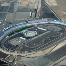
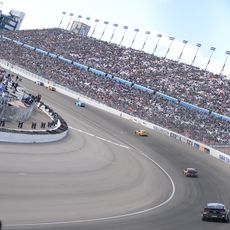
Las Vegas Motor Speedway
United States of America

Las Vegas Motor Speedway

44 mi
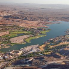
Lake Las Vegas
United States of America

Lake Las Vegas

47 mi
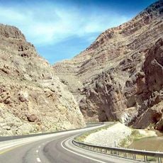
Virgin River Gorge
United States of America

Virgin River Gorge

34.2 mi
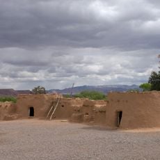
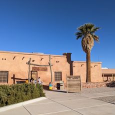
Lost City Museum
United States of America

Lost City Museum

7.9 mi
Las Vegas Motor Speedway
United States of America

Las Vegas Motor Speedway

44 mi
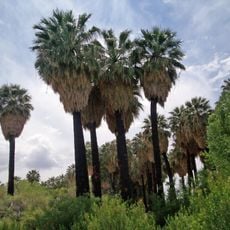
Warm Springs Natural Area
United States of America

Warm Springs Natural Area

21.5 mi
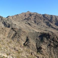
Sunrise Mountain
United States of America

Sunrise Mountain

45.4 mi
Beaver Dam Wash National Conservation Area
United States of America

Beaver Dam Wash National Conservation Area

38.2 mi
United States of America

Black Rock

46.3 mi
Moapa Valley National Wildlife Refuge
United States of America

Moapa Valley National Wildlife Refuge

21.7 mi
Virgin Valley Heritage Museum
United States of America

Virgin Valley Heritage Museum

20.1 mi
Paiute Wilderness
United States of America

Paiute Wilderness

32 mi
Mount Wilson
United States of America

Mount Wilson

45.3 mi
LDS Moapa Stake Office Building
United States of America

LDS Moapa Stake Office Building

7.6 mi
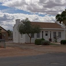
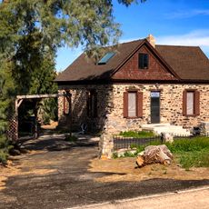
Thomas Leavitt House
United States of America

Thomas Leavitt House

16.2 mi
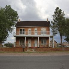
Parley Hunt House
United States of America

Parley Hunt House

16.8 mi
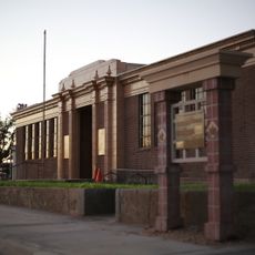
Mesquite High School Gymnasium
United States of America

Mesquite High School Gymnasium

20.2 mi
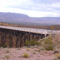
Sand Hollow Wash Bridge
United States of America

Sand Hollow Wash Bridge

24.1 mi
Yellow Knolls
United States of America

Yellow Knolls

41.7 mi
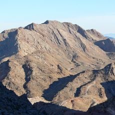
Davidson Peak
United States of America

Davidson Peak

19.4 mi
Lost City Museum-Archaeology
United States of America

Lost City Museum-Archaeology

7.9 mi
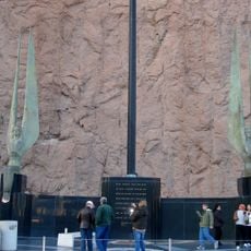
Winged Figures of the Republic
United States of America

Winged Figures of the Republic

46.9 mi
Hoover Dam Exhibits
United States of America

Hoover Dam Exhibits

46.9 mi
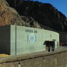
Hoover Dam Visitor Center
United States of America

Hoover Dam Visitor Center

46.9 mi
Little Finland
United States of America

Little Finland

13.6 mi
Show the full map
Reviews
Share your experience

No review yet

Discussions
Start a discussion...

No discussion yet

« Double Negative - Land art on Mormon Mesa in Clark County, US » is provided by Around Us (aroundus.com). Images and texts are derived from Wikimedia project under a Creative Commons license. You are allowed to copy, distribute, and modify copies of this page, under the conditions set by the license, as long as this note is clearly visible.

Discover hidden gems everywhere you go!

From secret cafés to breathtaking viewpoints, skip the crowded tourist spots and find places that match your style. Our app makes it easy with voice search, smart filtering, route optimization, and insider tips from travelers worldwide. Download now for the complete mobile experience.
Around Us App Screenshot

A unique approach to discovering new places

Le Figaro

All the places worth exploring

France Info

A tailor-made excursion in just a few clicks

20 Minutes

Around Us
Travel Guide & Maps
Download

Send to your phone

QR Code
1

Open the camera app on your mobile.

2

Point at the QR code with your camera. A notification will appear.

3

Tap the notification to open the link.