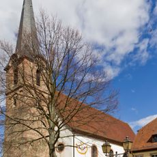
Maikammer, municipality in Germany
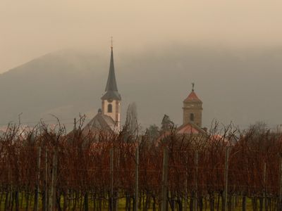
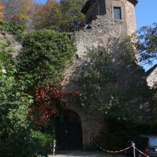
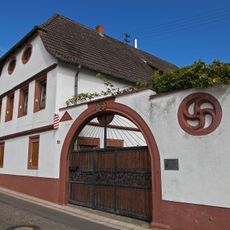
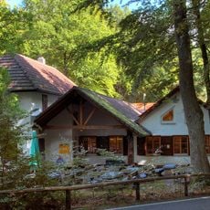
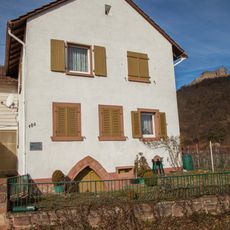
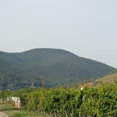
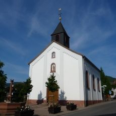
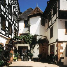
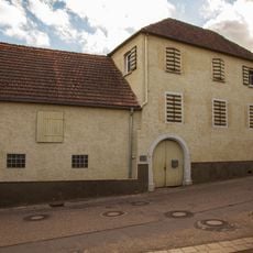
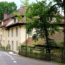
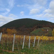
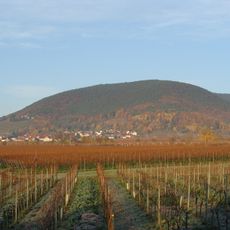
Maikammer is a small municipality in Südliche Weinstraße, Germany, known for its wine production and rural character. The town features traditional houses made of red sandstone with wooden balconies, small squares, and courtyards inviting visitors to explore.
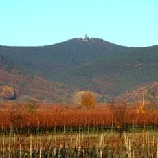
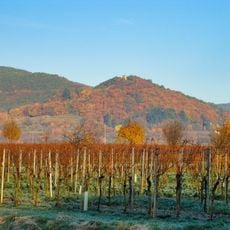
The municipality has a long history closely tied to winemaking, passed down through many generations. This tradition has fundamentally shaped local life and remains central to the region's identity today.
Maikammer is part of the Cittaslow movement, which promotes slow living and local traditions. Visitors experience this through wine tastings in cozy wine rooms, local markets, and festivals that showcase community gathering.
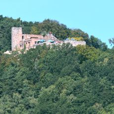
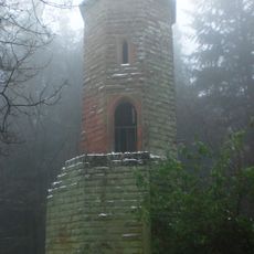
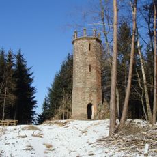
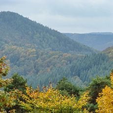
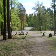
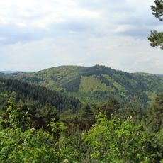
Visitors can explore the area by bicycle or on foot, particularly on the Pfälzer Weinsteig, a clearly marked trail through forests and hills. The region offers welcoming accommodations and wine rooms where you can rest and enjoy local food.
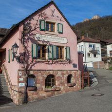
Maikammer is known for the special Weinkammer, a historic wine shop offering wines from 25 local farms where visitors can learn about and purchase different varieties. This makes it a special place to discover deeper connections to local wine culture.
The community of curious travelers
AroundUs brings together thousands of curated places, local tips, and hidden gems, enriched daily by 60,000 contributors worldwide.