Kempten, Urban center in Bavaria, Germany
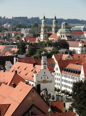
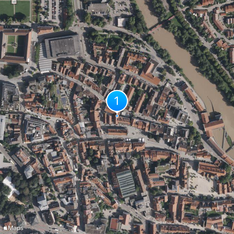
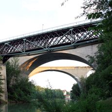
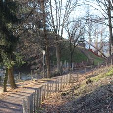
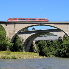
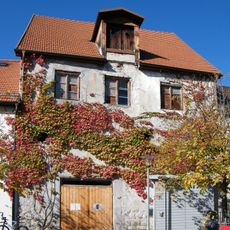
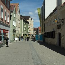
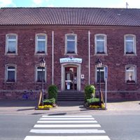
Kempten is an administrative center and urban district in Swabia, Bavaria, extending along both banks of the Iller River. The old town combines restored townhouses with broad squares and several stone bridges linking the riverfront to surrounding residential quarters.
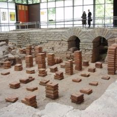
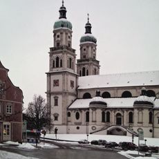
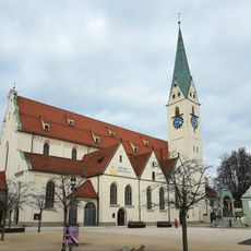
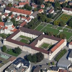
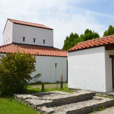
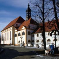
Romans founded Cambodunum in 15 BC as a military post, making this site the earliest documented urban foundation on present-day German territory. Until 1819 the settlement existed as two separate communities: a Protestant free imperial city and a Catholic prince-abbey with independent administrations.
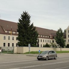
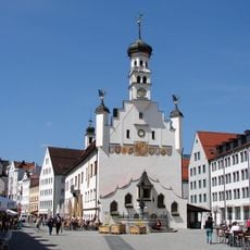
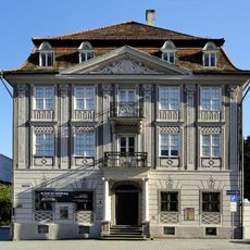
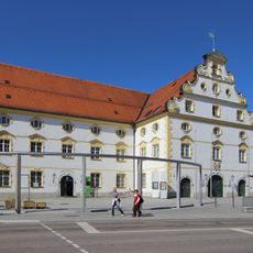
The basilica ceiling shows scenes from the life of Saint Lawrence, while the former residence now serves as administrative offices with its baroque rooms open during guided visits. The division between Protestant civic areas and Catholic monastery districts still shapes the street layout and arrangement of public spaces throughout town.
Regional trains run regularly to Munich and take about two hours, while city buses also serve trailheads for hikes in the Allgäu mountains. The town center is easily explored on foot, as most points of interest lie within a compact area around the residence and basilica.
Archaeological excavations beneath modern street level expose remains of Roman baths and forum structures, giving visitors a direct look at life in the ancient garrison. A scale model of Cambodunum shows the original layout with its grid of streets and public buildings in stone.
Location: Swabia
Capital city: Kempten
Elevation above the sea: 699 m
Part of: Via Salina Euregion, Euregion Bodensee
Shares border with: Oberallgäu, Lauben, Altusried, Wiggensbach, Buchenberg, Waltenhofen, Durach, Betzigau, Haldenwang
Website: http://kempten.de
GPS coordinates: 47.73333,10.31667
Latest update: December 4, 2025 19:01
Cambodunum
990 m
Iller-Unglück
3.9 km
St. Lorenz Basilica
658 m
Kempten Abbey
623 m
BigBOX Allgäu
1.4 km
Pfarrkirche St. Mang
892 m
Artillerie-Kaserne Kempten
722 m
Burghalde
1.2 km
Fürstäbtliche Residenz
628 m
King Louis Bridge
2 km
Town hall of Kempten
772 m
Archaeological Park Cambodunum
795 m
Forum Allgäu
1.4 km
Zum Stift
702 m
Christoph 17
4.6 km
Prinz-Franz-Kaserne
279 m
Erasmus Chapel
921 m
Maria-Ward-Schule
853 m
Obere Illerbrücken
2.1 km
Zumsteinhaus
745 m
Engelhaldepark
1.6 km
Beginenhaus Kempten
1.1 km
Wein-Fässle
809 m
Burgus Ahegg
5.6 km
Kornhaus (Kempten)
738 m
St. Anton
1.9 km
Haubenschloß
2 km
Mulzerföhre
3.5 kmReviews
Visited this place? Tap the stars to rate it and share your experience / photos with the community! Try now! You can cancel it anytime.
Adelharz
Ajen
Aschen
Bachen
Bachtelmühle
Bachtelsteig
Binzenried
Birken
Bockarten
Breiten (Kempten)
Bühl
Dolders
Eich
Felben
Greinats
Grub
Hafenthal
Halden
Härtnagel
Hasenbühl
Haßberg
Heiligkreuz
Hinterholz
Hirschdorf
Hochstraß
Höflings
Hub
Johannisried
Kargen
Klingen
Lenzfried
Letten
Leubas
Leupolz
Leupratsried
Lotterberg
Mariaberg
Moos
Motzen
Neuhausen
Oberbühl
Oberried
Rappenscheuchen
Reinharts
Riederau
Rockhöflings
Rößlings
Rothkreuz
Sankt Mang
Schatten
Schnattern
Schwabelsberg
Sommers
Stadtweiher (Kempten)
Steig
Sterklings
Steufzgen
Stiftallmey
Stiftsbleiche
Tannen
Thingers
Unterbühl
Unterwies
Ursulasried
Voglsang
Vorderwaldmanns
Weidachsmühle
Wettmannsberg
Discover hidden gems everywhere you go!
From secret cafés to breathtaking viewpoints, skip the crowded tourist spots and find places that match your style. Our app makes it easy with voice search, smart filtering, route optimization, and insider tips from travelers worldwide. Download now for the complete mobile experience.
A unique approach to discovering new places❞
— Le Figaro
All the places worth exploring❞
— France Info
A tailor-made excursion in just a few clicks❞
— 20 Minutes