Enable Location

We need your location to show you interesting places around you

Discover nearby places

Find interesting locations and hidden gems around you

Precise directions

Get accurate directions and distances to places

Your location is never shared with other users. It's only used when you tap the location button.

Tooele

Log in to your account

Start exploring — it's free

Trusted by travelers worldwide

Continue with Google
Continue with Apple
or

We will send you a code to connect

By continuing, you accept our Terms and Conditions and our Privacy Policy

Check your inbox

We've sent a pincode in your inbox. Please enter the code below.

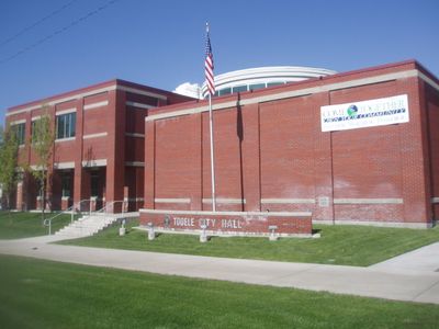
Tooele, County seat in Western Utah, United States.

Description

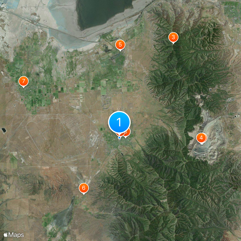
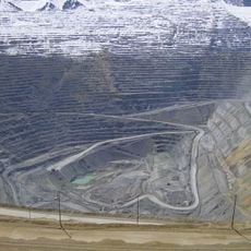
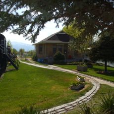
Tooele is a city in Utah situated at 1,537 meters (5,043 ft) elevation in Tooele Valley, surrounded by the Oquirrh Mountains. The city provides direct access to the Great Salt Lake and contains multiple schools along with a regional campus of Utah State University.

History

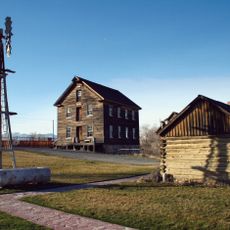
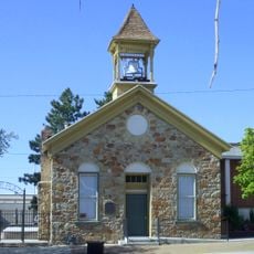
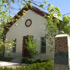
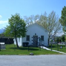
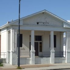
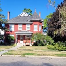
Mormon pioneers established the first settlement in 1849 with three families, leading to the official incorporation of Tooele City Corporation in 1853. Growth accelerated with the arrival of different immigrant groups in the early 1900s.

Culture

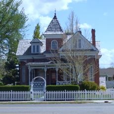
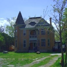
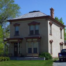
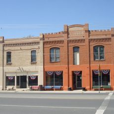
The eastern neighborhood called New Town developed in the early 1900s and drew families from the Balkans, Italy, Greece, and Asia Minor to settle there. These different groups shaped how the area looks and feels today.

Practical

The city sits at high elevation, which helps with orientation when using the surrounding mountains as landmarks. Visitors should know that winters are cold and the altitude may require a slower pace of adjustment.

Did you know?

Danger Cave in Tooele Valley holds archaeological finds from human settlements dating back about 11,000 years. These well-preserved ancient tools and artifacts reveal that the region is among the oldest known settlement areas in North America.

Location
Inception
1851
Elevation above the sea
1,537 m
Part of
Western Utah
Shares border with
Magna, Grantsville, Ophir, Stockton
GPS coordinates
40.53056,-112.29861
Latest update
December 17, 2025 07:49

AroundUs brings together thousands of curated places, local tips, and hidden gems, enriched daily by 60,000 contributors worldwide. Discover all places nearby (Tooele County).

Around this place
Bingham Canyon Mine
United States of America

Bingham Canyon Mine

12.7 km
Farnsworth Peak
United States of America

Farnsworth Peak

16.5 km
Bingham Canyon Reclamation Project
United States of America

Bingham Canyon Reclamation Project

12.4 km
Benson Grist Mill
United States of America

Benson Grist Mill

13.2 km
Stockton Jail
United States of America

Stockton Jail

10.1 km
Hilda Erickson House
United States of America

Hilda Erickson House

16.5 km
Tooele Valley Railroad Complex
United States of America

Tooele Valley Railroad Complex

900 m
Tooele County Courthouse and City Hall
United States of America

Tooele County Courthouse and City Hall

149 m
Alex and Mary Alice Johnson House
United States of America

Alex and Mary Alice Johnson House

15.9 km
James and Penninah Wrathall House
United States of America

James and Penninah Wrathall House

16.4 km
Grantsville First Ward Meetinghouse
United States of America

Grantsville First Ward Meetinghouse

16.8 km
Grantsville School and Meetinghouse
United States of America

Grantsville School and Meetinghouse

16.8 km
John T. Rich House
United States of America

John T. Rich House

16.7 km
Tooele Carnegie Library
United States of America

Tooele Carnegie Library

149 m
Johnson Hall-Deseret Mercantile Building
United States of America

Johnson Hall-Deseret Mercantile Building

16 km
United States of America

Kirk Hotel

143 m
Peter Clegg House
United States of America

Peter Clegg House

237 m
United States of America

Harkers Canyon

8.3 km
Stockton School
United States of America

Stockton School

10.2 km
United States of America

Clark Historic Farm

17.1 km
United States of America

Tooele observatory

12.3 km
United States of America

Oquirrh Hills Golf Course

2 km
United States of America

Stansbury Park Golf Course

12 km
United States of America

Bingham High B

16 km
United States of America

Asylum 49

560 m
United States of America

Tooele T

4.3 km
United States of America

Copper Mine Overlook

10.8 km
United States of America

Scenic viewpoint

15.6 km
Show the full map
« Tooele - County seat in Western Utah, United States » is provided by Around Us (aroundus.com). Images and texts are derived from Wikimedia project under a Creative Commons license. You are allowed to copy, distribute, and modify copies of this page, under the conditions set by the license, as long as this note is clearly visible.

Discover hidden gems everywhere you go!

From secret cafés to breathtaking viewpoints, skip the crowded tourist spots and find places that match your style. Our app makes it easy with voice search, smart filtering, route optimization, and insider tips from travelers worldwide. Download now for the complete mobile experience.

Around Us App Screenshot

A unique approach to discovering new places

Le Figaro

All the places worth exploring

France Info

A tailor-made excursion in just a few clicks

20 Minutes

Around Us
Travel Guide & Maps
Download

Send to your phone

QR Code
1

Open the camera app on your mobile.

2

Point at the QR code with your camera. A notification will appear.

3

Tap the notification to open the link.