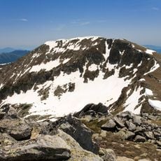
Sivria, Mountain summit in Pirin National Park, Bulgaria
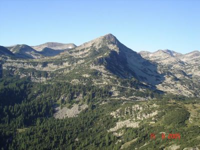
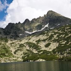
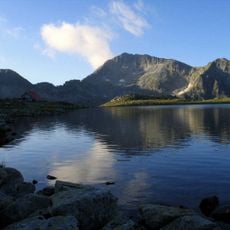
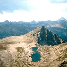
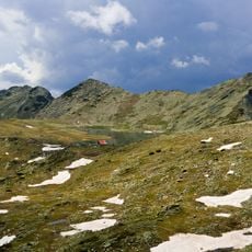
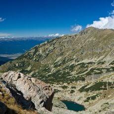
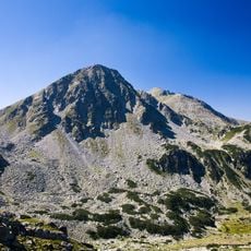
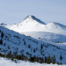
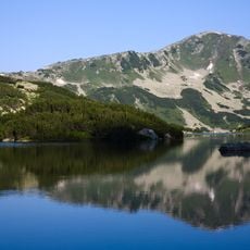
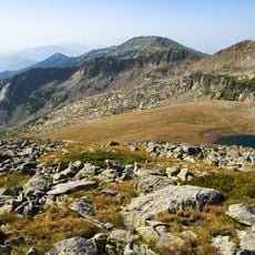
Sivria is a mountain summit in Pirin National Park that rises to 2,591 meters above sea level. The peak has steep eastern slopes dropping toward the Kremenski Lakes, while its western approaches are less severe.
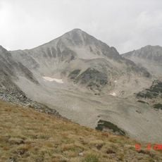
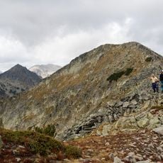
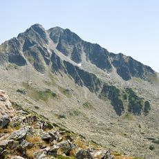
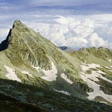
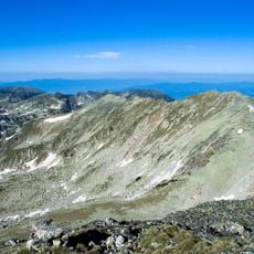
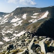
Mountaineers have been ascending this peak through multiple routes over many decades. The northern face with its category II climbing route has long served as a destination for technical climbers.
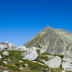
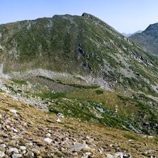
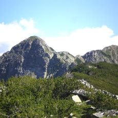
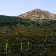
Local residents refer to this mountain formation as Dzhangalski Peak, naming it after the Dzhangalitsa ridge where it stands prominently.
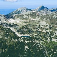
Most routes begin at the Bezbog hut and pass through rocky alpine terrain with steep sections. The climb requires proper mountain experience and equipment suitable for exposed conditions.
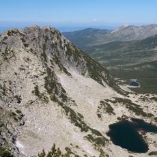
The northern face drops almost vertically into the Popovski cirque, creating a sharp contrast with the more approachable western slopes. This dramatic difference in terrain makes the peak notable among Pirin climbers.
The community of curious travelers
AroundUs brings together thousands of curated places, local tips, and hidden gems, enriched daily by 60,000 contributors worldwide.