Elm Point, Landform point in Manitoba, Canada
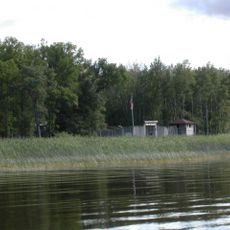
Elm Point is a landform that juts into Lake of the Woods, marking the border between Manitoba and Minnesota. The peninsula extends into the water and creates a natural turning point along the international boundary line.
The area was defined by treaties in the 1800s that established the border between British North America and the United States. Precise mapping of the landform came later as surveyors used more accurate techniques to determine the exact boundary line.
This geographical point represents the meeting of Canadian and American territories, demonstrating the complex border relationships between neighboring nations.
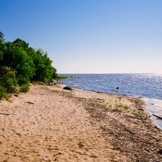
The location is accessible but partly limited by private property and protected natural areas. Visitors should know that the region is a sensitive border zone and special rules may apply.
A line of cut trees marks the exact border and shows the physical separation between the two countries. This tree line is a visible sign of where the international boundary runs across the landscape.
The community of curious travelers
AroundUs brings together thousands of curated places, local tips, and hidden gems, enriched daily by 60,000 contributors worldwide.