
Fisher Point, cliff in Coconino County, Arizona, United States of America
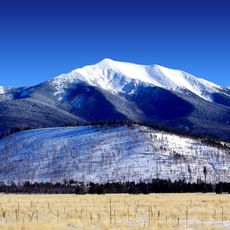
Humphreys Peak
22.9 km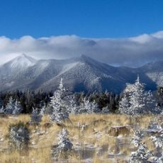
San Francisco Peaks
21.8 km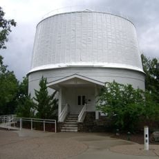
Lowell Observatory
8.5 km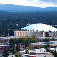
Walkup Skydome
6.1 km
Riordan Mansion State Historic Park
7.1 km
Museum of Northern Arizona
11.2 km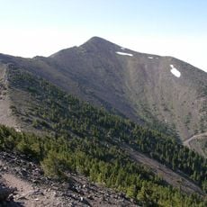
Agassiz Peak
20.7 km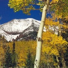
Kachina Peaks Wilderness
21.7 km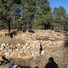
Elden Pueblo
10.4 km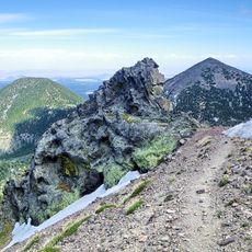
Fremont Peak
19.9 km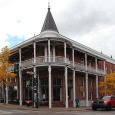
Weatherford Hotel
7.1 km
The Arboretum at Flagstaff
12.5 km
Doyle Peak
20.3 km
Railroad Addition Historic District
7 km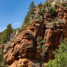
West Fork Trailhead
22.5 km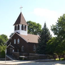
Our Lady of Guadaloupe Church
7.2 km
Presbyterian Church Parsonage
7.1 km
Brannen-Devine House
6.8 km
Cliffs Ranger Station
7.3 km
Riordan Mansion
7.1 km
Flagstaff Armory
7.4 km
Pioneer Museum--Arizona Historical Society
9.7 km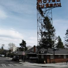
Flagstaff Southside Historic District
6.9 km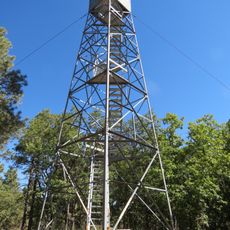
Woody Mountain Lookout Tower
14.4 km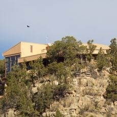
Walnut Canyon Visitor Center
8 km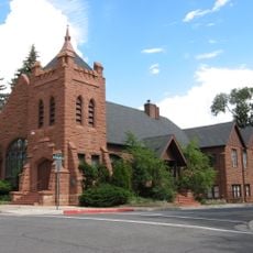
Flagstaff Federated Community Church
7.6 km
Pumphouse Wash Bridge
19.2 km
Flagstaff City-coconino County Public Library
7.4 kmReviews
Visited this place? Tap the stars to rate it and share your experience / photos with the community! Try now! You can cancel it anytime.
Discover hidden gems everywhere you go!
From secret cafés to breathtaking viewpoints, skip the crowded tourist spots and find places that match your style. Our app makes it easy with voice search, smart filtering, route optimization, and insider tips from travelers worldwide. Download now for the complete mobile experience.

A unique approach to discovering new places❞
— Le Figaro
All the places worth exploring❞
— France Info
A tailor-made excursion in just a few clicks❞
— 20 Minutes