Walnut Canyon National Monument, Archaeological site and nature reserve in Coconino County, Arizona.
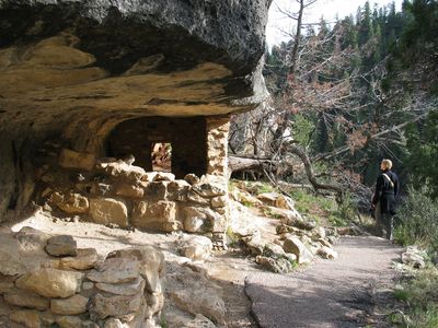
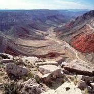
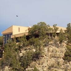
Walnut Canyon National Monument is a nature reserve featuring a canyon with walls up to 600 feet deep that contain numerous dwellings built into natural rock recesses. The limestone formations show where people once lived in shelters carved or constructed within the stone.
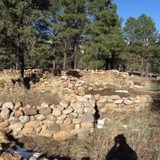
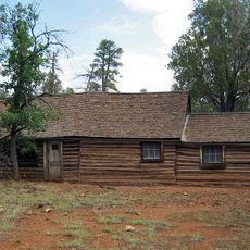
The canyon was settled by the Sinagua people between 1100 and 1250 AD, who built more than 80 rooms within the rock walls. This period marked intense occupation of the site before people left the region and the canyon fell silent.
The people built their homes directly into natural rock recesses and used the surrounding areas to grow corn, beans, and squash. This way of living shows how closely they worked with their environment and shaped it to meet their needs.
The Island Trail is about one mile round-trip and guides visitors along paved paths past the historic rooms. The trail goes downhill and back up, so wear good shoes and allow enough time to walk at a comfortable pace.
The canyon hosts more than 380 different plant species growing at various elevations, from desert plants at the bottom to pines at the top. This variety exists because temperature and rainfall change significantly with height, creating different habitats.
The community of curious travelers
AroundUs brings together thousands of curated places, local tips, and hidden gems, enriched daily by 60,000 contributors worldwide.