
Lyman Lake petroglyphs
Lyman Lake petroglyphs, archaeological site in Apache County, United States of America
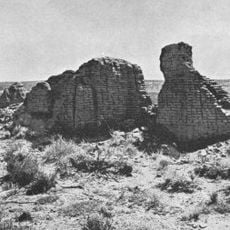
Hawikuh Ruins
72.5 km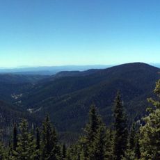
Mount Baldy
54.1 km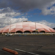
Round Valley Ensphere
28.6 km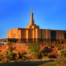
Snowflake Arizona Temple
69.3 km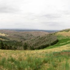
Escudilla Mountain
51 km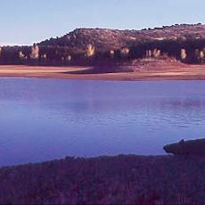
Lyman Reservoir
1.2 km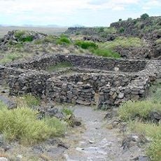
Casa Malpaís
25 km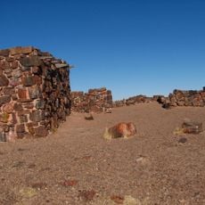
Agate House Pueblo
66.2 km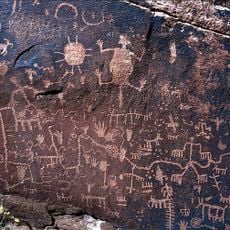
Newspaper Rock Petroglyphs Archeological District
76.9 km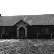
Alpine Elementary School
63.7 km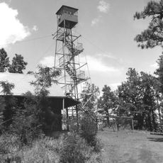
Lake Mountain Lookout Complex
43 km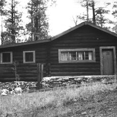
Butterfly Lodge
39.3 km
Eagar Townsite Historic District
29.7 km
Corduroy Creek Bridge
77.2 km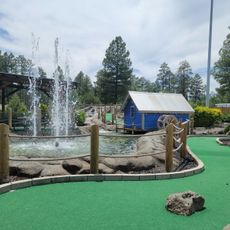
White Mountain Family Fun Park
61.9 km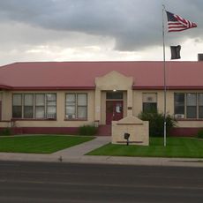
Eagar School
29.7 km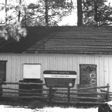
Los Burros Ranger Station
43.8 km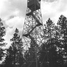
PS Knoll Lookout Complex
68.1 km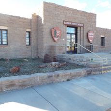
Rainbow Forest Museum
67.2 km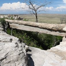
Agate Bridge
70 km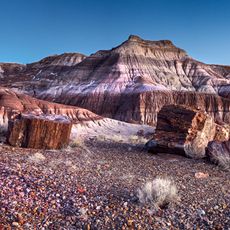
Jasper Forest
70.7 km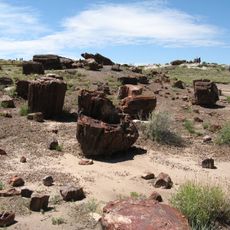
Rainbow Forest
67.5 km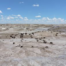
Crystal Forest
67.2 km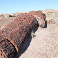
Giant Logs Trail
67.3 km
Show Low Historical Society
62.1 km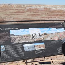
Jasper Forest Viewpoint
70.4 km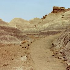
Blue Mesa Trail
72.8 km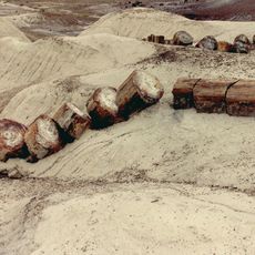
Giant Logs
67.4 kmReviews
Visited this place? Tap the stars to rate it and share your experience / photos with the community! Try now! You can cancel it anytime.
Discover hidden gems everywhere you go!
From secret cafés to breathtaking viewpoints, skip the crowded tourist spots and find places that match your style. Our app makes it easy with voice search, smart filtering, route optimization, and insider tips from travelers worldwide. Download now for the complete mobile experience.

A unique approach to discovering new places❞
— Le Figaro
All the places worth exploring❞
— France Info
A tailor-made excursion in just a few clicks❞
— 20 Minutes