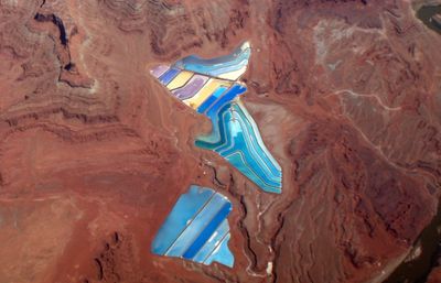
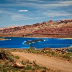
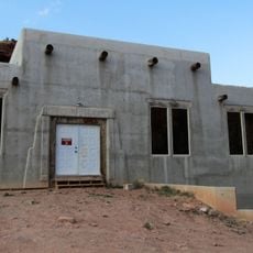
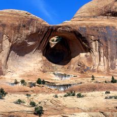
TexasGulf Potash Pond One A Dam, Industrial dam in Grand County, United States.
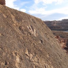
The TexasGulf Potash Pond One A Dam is an industrial facility in the Utah desert that regulates water for mineral extraction through a network of evaporation ponds. The system harnesses the dry desert air to naturally extract potassium chloride through evaporation.
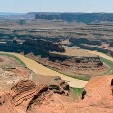
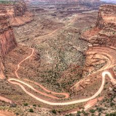
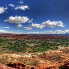
The facility was built in the second half of the twentieth century as part of the expansion of potash mining in Grand County. Its construction reflects the rapid growth of mineral extraction in this desert region.
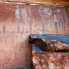
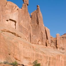
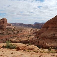
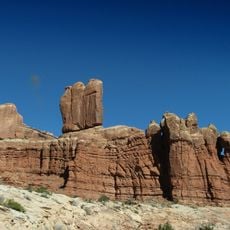
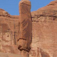
The facility shows how mining shaped both the landscape and the economy of this region over decades. Walking through the area, visitors witness how extraction industries influence the daily life and development of local communities.
Access to the site is restricted since it is an active industrial facility with safety regulations in place. Visitors must contact the facility management in advance to request permission and arrange a visit.
The facility operates on the principle of salt extraction through natural evaporation where water gradually disappears, leaving behind the desired mineral. This method is remarkably efficient in the dry desert environment and requires minimal external energy resources.
The community of curious travelers
AroundUs brings together thousands of curated places, local tips, and hidden gems, enriched daily by 60,000 contributors worldwide.