
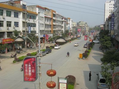
Dongkou County, county
Location: Shaoyang
Elevation above the sea: 310 m
Website: http://dongkou.gov.cn
GPS coordinates: 27.06565,110.57883
Latest update: March 3, 2025 11:10
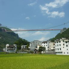
Aizhai Bridge
170.9 km
Longsheng Rice Terrace
152.5 km
Lingqu
163.2 km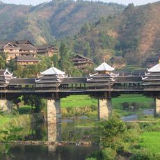
Chengyang Bridge
160 km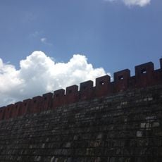
Miaojiang Great Wall
146.5 km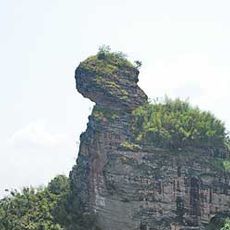
Mount Kitten
134.5 km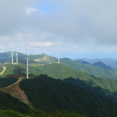
Mount Langshan
77 km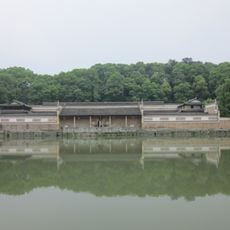
Tseng Kuo-fan's Former Residence
154.9 km
Ping Island
136.5 km
Former Site of the Japanese Surrender Ceremony
95.6 km
Yangmingshan National Forest Park
175.8 km
Liuzi Temple
138.7 km
He Shuheng's Former Residence
181.4 km
Huangzhou Wind-rain Bridge
142.2 km
Puji Temple (Ningxiang County)
176.6 km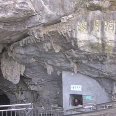
Boyue Cave
113.2 km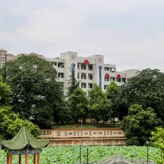
Hunan Yongzhou No.1 High School
138.2 km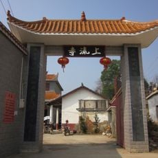
Shangliu Temple (Ningxiang County)
173.7 km
Daxin
92.5 km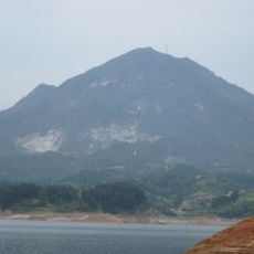
Furong Mountain
176.5 km
Tianping Reservoir
173.8 km
Shima Park
161 km
Huitong Covered Bridge
181.5 km
Yanlai Temple
142.8 km
Longshan National Forest Park
133.6 km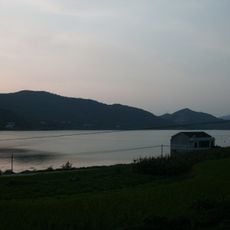
Taolin Reservoir
182.8 km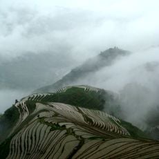
Longji Rice Terraces
150.9 km
Baima Shuiku
122.6 kmVisited this place? Tap the stars to rate it and share your experience / photos with the community! Try now! You can cancel it anytime.
Discover hidden gems everywhere you go!
From secret cafés to breathtaking viewpoints, skip the crowded tourist spots and find places that match your style. Our app makes it easy with voice search, smart filtering, route optimization, and insider tips from travelers worldwide. Download now for the complete mobile experience.

A unique approach to discovering new places❞
— Le Figaro
All the places worth exploring❞
— France Info
A tailor-made excursion in just a few clicks❞
— 20 Minutes