
Tamayameh Kah Sta Mah, summit in Sandoval County, New Mexico, United States of America
Location: Sandoval County
Location: New Mexico
GPS coordinates: 35.43090,-107.03810
Latest update: June 7, 2025 03:48
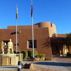
Indian Pueblo Cultural Center
49.6 km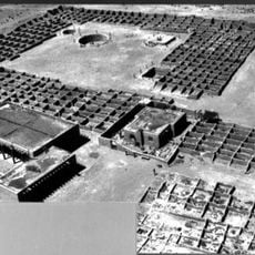
Coronado State Monument
45.1 km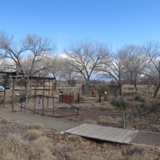
Rio Grande Nature Center State Park
46.7 km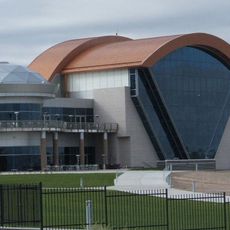
Anderson-Abruzzo Albuquerque International Balloon Museum
48.2 km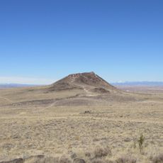
Vulcan
40.3 km
Ojito Wilderness
16.7 km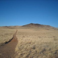
Black Volcano
41.1 km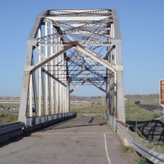
Rio Puerco Bridge
45.1 km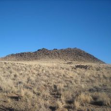
JA volcano
41.5 km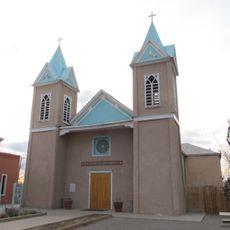
Our Lady of Sorrows Church
46.4 km
Indian Pueblo Kitchen
49.6 km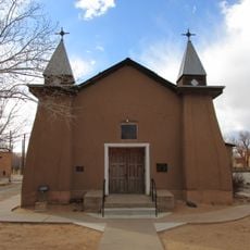
San Ysidro Church
44.3 km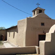
Our Lady of Mt. Carmel Church
48 km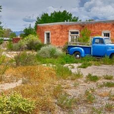
Juan Antonio Garcia House
48.4 km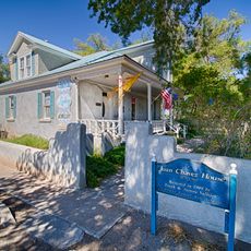
Juan Chavez House
47.3 km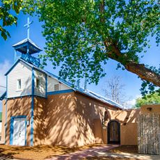
Los Candelarias Chapel
48 km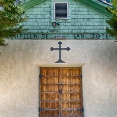
Los Duranes Chapel
48.6 km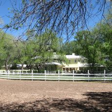
Robert Dietz Farmhouse
46.7 km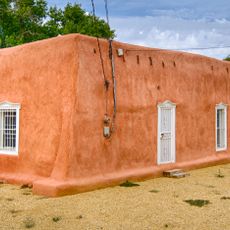
Barela–Bledsoe House
48.5 km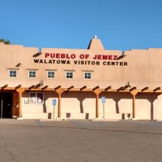
Walatowa Visitor Center
37 km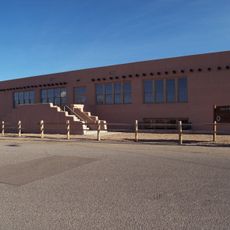
Roosevelt School
46.4 km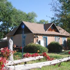
Adrian Barela House
46.3 km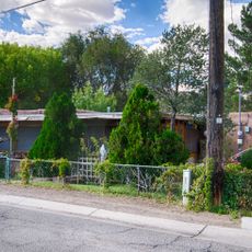
Gavino Anaya House
48.3 km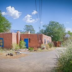
Felipe Romero House
48.3 km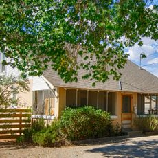
Charles Grande House
48.4 km
Rumaldo Chavez House
47.6 km
New Mexico Slaughter House
43.2 km
Bodhi Manda Zen Center
49.5 kmReviews
Visited this place? Tap the stars to rate it and share your experience / photos with the community! Try now! You can cancel it anytime.
Discover hidden gems everywhere you go!
From secret cafés to breathtaking viewpoints, skip the crowded tourist spots and find places that match your style. Our app makes it easy with voice search, smart filtering, route optimization, and insider tips from travelers worldwide. Download now for the complete mobile experience.

A unique approach to discovering new places❞
— Le Figaro
All the places worth exploring❞
— France Info
A tailor-made excursion in just a few clicks❞
— 20 Minutes