
Estancia Historical Marker, park in Torrance County, New Mexico, United States
Sandia Base
54.3 km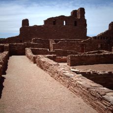
Abo
46.1 km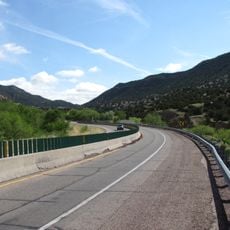
Tijeras Canyon
46.1 km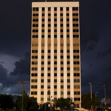
Bank of the West Tower
59.4 km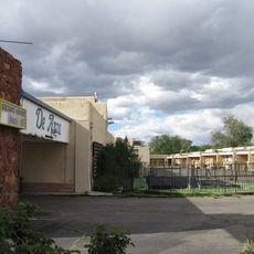
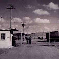
De Anza Motor Lodge
60.2 km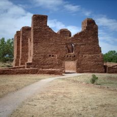
Quarai
29.2 km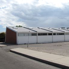
Solar Building
59.7 km
Hinkle Family Fun Center
54.5 km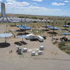
National Solar Thermal Test Facility
46.9 km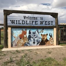
Wildlife West Nature Park
36.4 km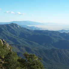
Manzano Wilderness
35.9 km
Space Development and Test Wing
58.9 km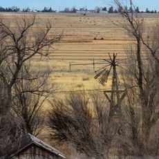
Moriarty Eclipse Windmill
25.5 km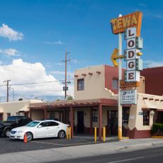
Tewa Lodge
59.1 km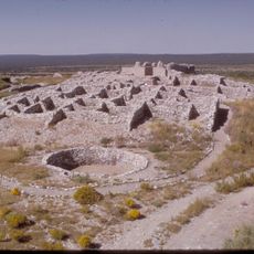
Las Humanas
56.8 km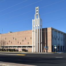
Hoffmantown Baptist Church
59.1 km
Tinkertown Museum
52.9 km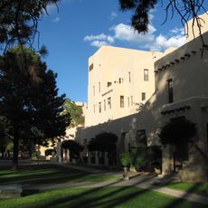
Albuquerque Veterans Administration Medical Center
57.8 km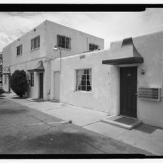
Luna Lodge
56.2 km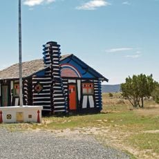
Rancho Bonito
33.7 km
American Vaudeville Museum
42.8 km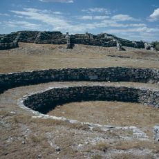
Gran Quivera Historic District
56.2 km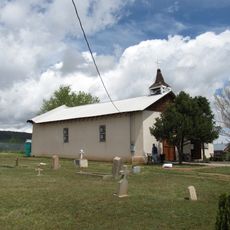
San Antonito Church and Cemetery
51.4 km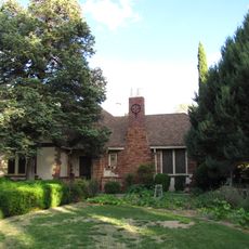
Davis House
60.1 km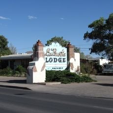
La Puerta Lodge
55.7 km
El Cerro Tome Site
59.5 km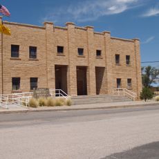
Mountainair Municipal Auditorium
32.5 km
Sonic
59.2 kmReviews
Visited this place? Tap the stars to rate it and share your experience / photos with the community! Try now! You can cancel it anytime.
Discover hidden gems everywhere you go!
From secret cafés to breathtaking viewpoints, skip the crowded tourist spots and find places that match your style. Our app makes it easy with voice search, smart filtering, route optimization, and insider tips from travelers worldwide. Download now for the complete mobile experience.

A unique approach to discovering new places❞
— Le Figaro
All the places worth exploring❞
— France Info
A tailor-made excursion in just a few clicks❞
— 20 Minutes