Tijeras Canyon, Natural canyon in central New Mexico, United States
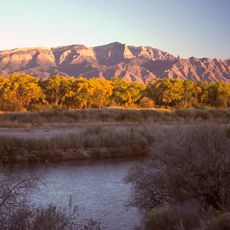
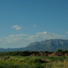
Tijeras Canyon is a natural passage cutting through the mountains east of Albuquerque, New Mexico, between the Sandia and Manzano ranges. The canyon floor runs at a relatively high elevation, with rocky walls on either side and vegetation that shifts from desert scrub near the city to pine forest deeper in.
For centuries, the canyon was used as a route by Native American peoples moving between the desert and the mountains, long before Spanish explorers arrived in the 1600s. Later, American settlers followed the same corridor, and the construction of a major highway through it in the 20th century confirmed its role as a main crossing point.
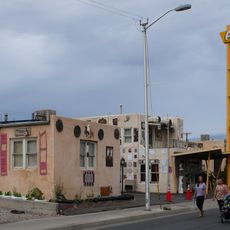
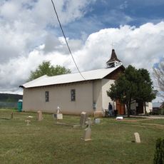
The canyon sits near the village of Tijeras, a small community that grew around this natural passage over generations. Locals still use the route daily, and the mix of desert plants and pine trees along the road shifts noticeably as you move through it.
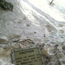
Interstate 40 runs directly through the canyon, making it easy to reach by car with several pullouts along the way. Those planning to hike should check trail conditions beforehand, as weather at this elevation can change quickly, especially in winter.
The name Tijeras comes from the Spanish word for scissors, because the Tijeras and Cedro canyons meet at an angle that looks like open scissor blades when seen from above. That same meeting point is also where the village of Tijeras sits today, at the exact fork in the terrain.
The community of curious travelers
AroundUs brings together thousands of curated places, local tips, and hidden gems, enriched daily by 60,000 contributors worldwide.