
Maple Canyon, canyon in the Wasatch Range in Wasatch County, Utah, United States
Location: Wasatch County
Elevation above the sea: 6,384 ft
GPS coordinates: 40.34658,-111.37463
Latest update: May 1, 2025 10:22
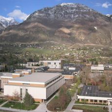
Y Mountain
22.1 km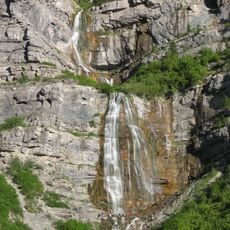
Bridal Veil Falls
19.3 km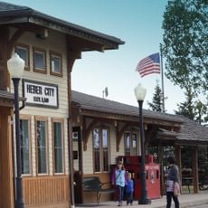
Heber Valley Railroad
17.8 km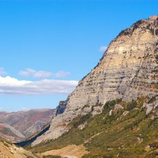
Provo Canyon
21.4 km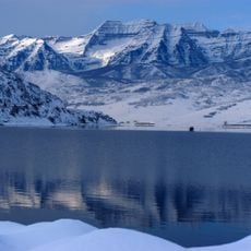
Deer Creek Reservoir
14.1 km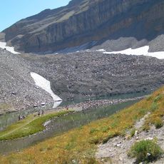
Timpanogos Glacier
20.9 km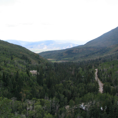
Wasatch Mountain State Park
22.2 km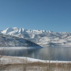
Deer Creek State Park
13.4 km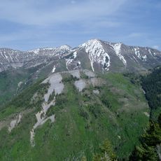
Provo Peak
19.2 km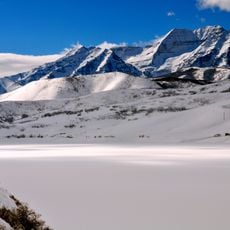
Mount Timpanogos Wilderness
23.7 km
Kyhv Peak
22.1 km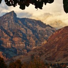
Rock Canyon
21.3 km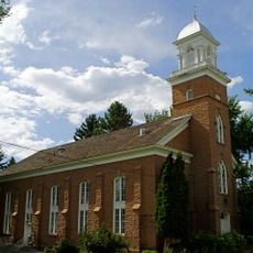
Wasatch Stake Tabernacle
18.4 km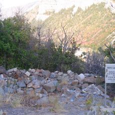
Provo Canyon Guard Quarters
20.1 km
CAF Utah Wing Museum
15.5 km
George Bonner, Jr., House
20.1 km
Abram Hatch House
18.2 km
Heber Second Ward Meetinghouse
18.2 km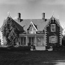
Watkins-Coleman House
20.2 km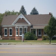
James William Clyde House
17.8 km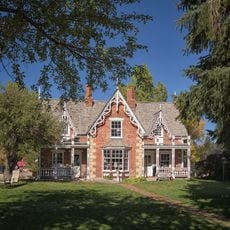
George Bonner, Sr., House
20.1 km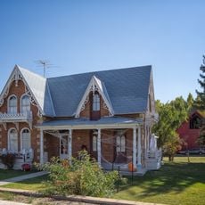
William Bonner House
20.1 km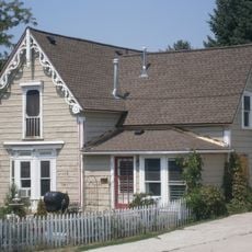
George Blackley House
18.4 km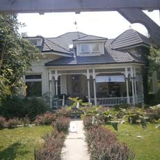
David Fisher House
17.6 km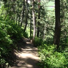
Stewarts Cascades Trail
20.6 km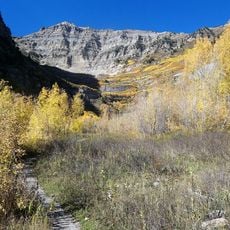
Mount Timpanogos Trail
21.1 km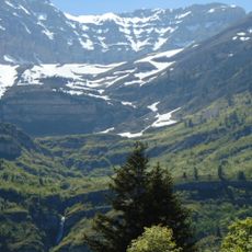
Cascade Cirque
21.7 km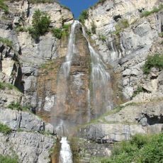
Stewarts Cascades
19.9 kmReviews
Visited this place? Tap the stars to rate it and share your experience / photos with the community! Try now! You can cancel it anytime.
Discover hidden gems everywhere you go!
From secret cafés to breathtaking viewpoints, skip the crowded tourist spots and find places that match your style. Our app makes it easy with voice search, smart filtering, route optimization, and insider tips from travelers worldwide. Download now for the complete mobile experience.

A unique approach to discovering new places❞
— Le Figaro
All the places worth exploring❞
— France Info
A tailor-made excursion in just a few clicks❞
— 20 Minutes