
Smith Point, cliff in Mesa County, Colorado, United States of America
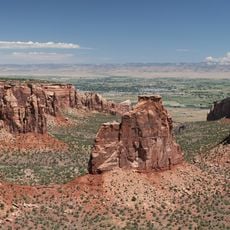
Colorado National Monument
38 km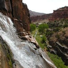
Dominguez Canyon Wilderness
19.2 km
Hanging Flume
36.8 km
James M. Robb – Colorado River State Park
42 km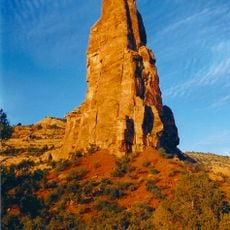
Independence Monument
44.3 km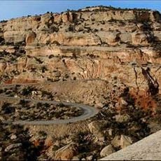
Rim Rock Drive
38 km
Ralph Stocker Stadium
42 km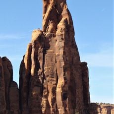
Kissing Couple
43.5 km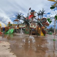
Coconut Cove
42.3 km
Value Place
44.2 km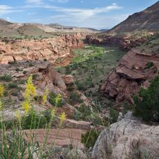
Dominguez-Escalante National Conservation Area
21.5 km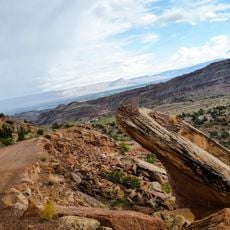
Serpents Trail
36.4 km
Western Colorado Center for the Arts
42.7 km
Mesa County Public Library District
41.2 km
Cross Orchards Historic Site
44.9 km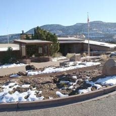
Colorado National Monument Visitor Center Complex
45.1 km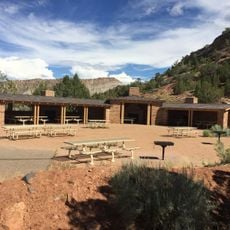
Devils Kitchen Picnic Shelter
36.6 km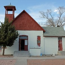
Handy Chapel
41 km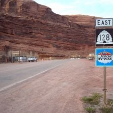
Dinosaur Diamond Prehistoric Highway
41.1 km
North Seventh Street Historic Residential District
41.4 km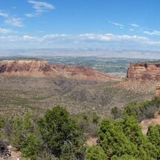
Monument Canyon
44.2 km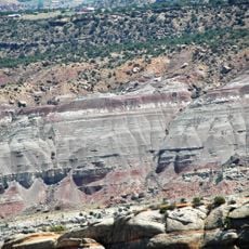
No Thoroughfare Canyon
40.1 km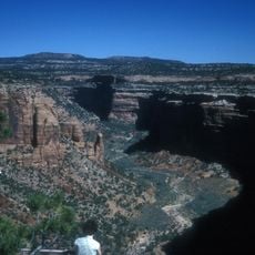
Ute Canyon
38.9 km
The Art Center
42.7 km
Avalon Theatre
40.8 km
Graff Dairy
43.9 km
Mesa Theater
40.9 km
Mesa County Public Library District - Central Library
41.3 kmReviews
Visited this place? Tap the stars to rate it and share your experience / photos with the community! Try now! You can cancel it anytime.
Discover hidden gems everywhere you go!
From secret cafés to breathtaking viewpoints, skip the crowded tourist spots and find places that match your style. Our app makes it easy with voice search, smart filtering, route optimization, and insider tips from travelers worldwide. Download now for the complete mobile experience.

A unique approach to discovering new places❞
— Le Figaro
All the places worth exploring❞
— France Info
A tailor-made excursion in just a few clicks❞
— 20 Minutes