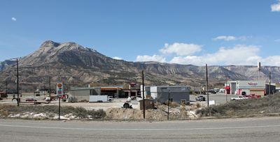
Parachute, town in Garfield County, Colorado, United States
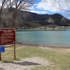
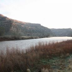
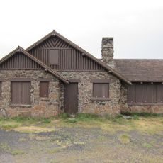
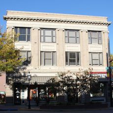
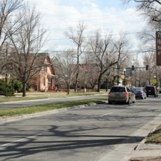
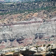
Parachute is a small town in Garfield County, Colorado, situated along the Colorado River. The town has a few small shops and restaurants and serves travelers as a quiet stop with basic services while exploring the surrounding mountains and natural areas.
The first settlers arrived in 1879 from California and established homesteads with sheep and families. The name likely arose from a mispronunciation of the Ute word Pahchouc or from a landmark that resembled a parachute.
The name Parachute comes from a landmark that resembled a parachute, or possibly from the Ute word Pahchouc meaning twins. Residents share stories about the town's origins and maintain community spirit through local gatherings and shared meals.
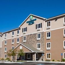
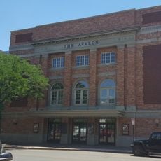
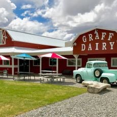
Visitors will find limited shops and restaurants, so it is wise to plan ahead for supplies and meals. Additional options and services are more readily available in larger towns nearby if you need something more substantial.
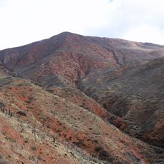
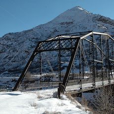
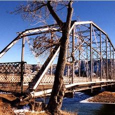
An iconic sign on the mountain displays the letters GV for Grand Valley, and many visitors stop to photograph this local landmark. These simple symbols become some of the most memorable images travelers take away from visiting.
The community of curious travelers
AroundUs brings together thousands of curated places, local tips, and hidden gems, enriched daily by 60,000 contributors worldwide.